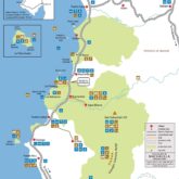
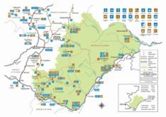
Here find a tourist map of the Esmeraldas province of Ecuador. Esmeraldas city and its surrounding towns and attractions. Need more information about traveling to Ecuador? Click here to see more Ecuador travel maps or Click here to see more resources on how to prepare your trip.
Tourist Attractions Map of Esmeraldas, Ecuador
Map of Esmeraldas, Ecuador. Free download. Image
1 file(s) 389 KB
Map of Esmeraldas, Ecuador. Free download. PDF
1 file(s) 553 KB
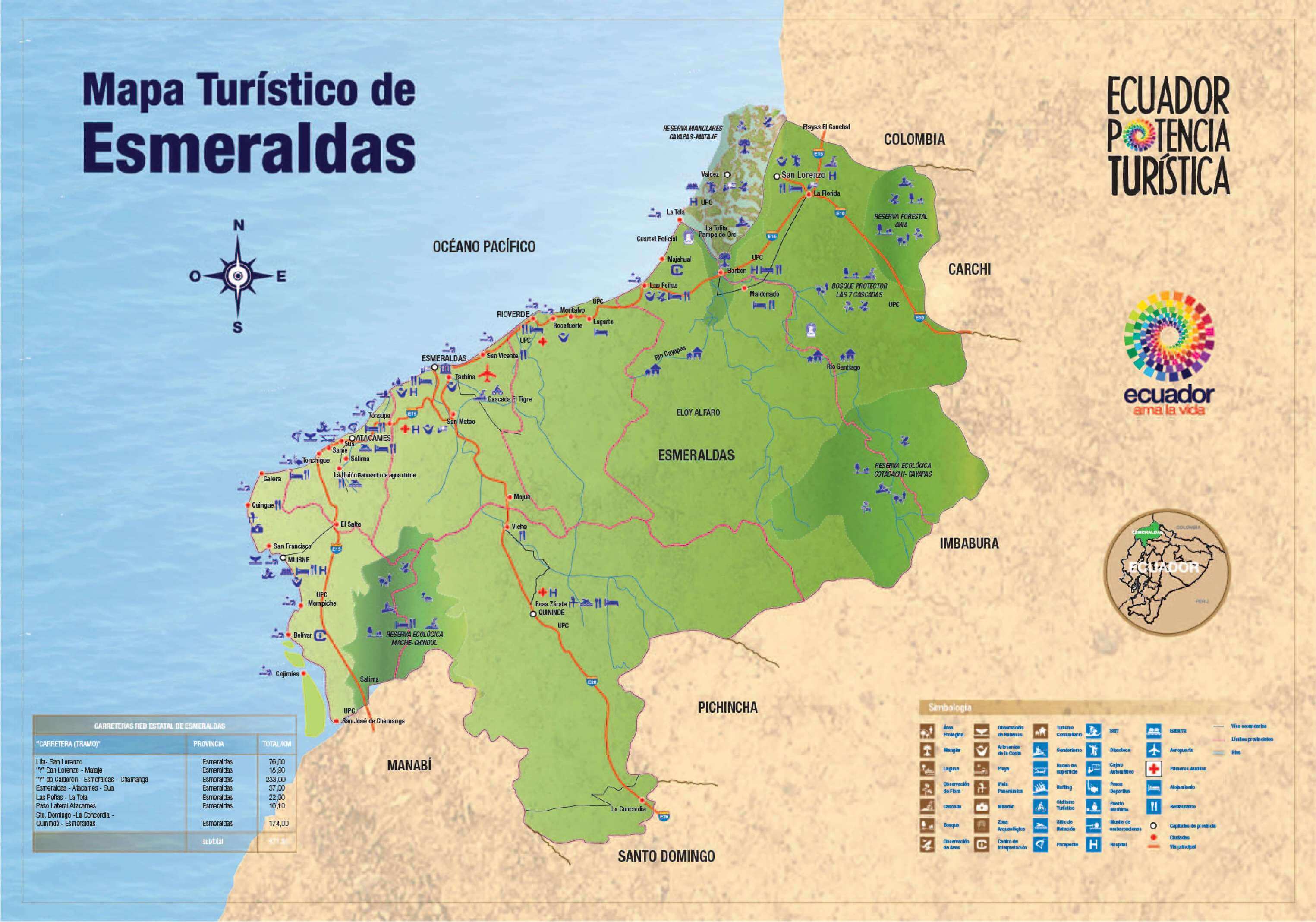
Source: Ecuador National Tourism Office (Ministerio de Turismo)
Top tourist attractions
Esmeraldas province
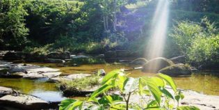
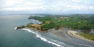
Esmeraldas is a province located in the northwestern Pacific coast of Ecuador, on the border with Colombia. Its capital shares the same name. Esmeraldas is known for its exotic flora, fauna, and beautiful beaches. It is also called the "green province" – "Provincia Verde" in Spanish – because it has untouched forests, surrounded by green landscapes with lush vegetation.
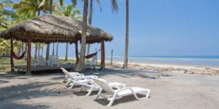
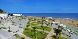
Same beach is the north coast’s most popular beach in Esmeraldas, Ecuador. Same beach is not really a city or even a village but sector with a string of white ...
Portete Island or "Isla Portete" is a small island located south of Esmeraldas, Ecuador. It is less than 3.7 mi (6 km) long north to south and 1.2 mi (2 ...
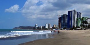
Tonsupa is a small beach town located in Esmeraldas, Ecuador. This beach is one of the closest to Quito (245 mi - 394 km). Tonsupa offers basic amenities, like sunshades, ...
Mache-Chindul Ecological Reserve protects some of the last remaining tropical dry and rain forests of the Ecuadorian coast. This natural area is a biodiversity hotspot due to the enormous variety ...
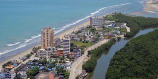
Esmeraldas is a coastal city, capital of the Esmeraldas province, located on the Pacific coast of Ecuador. Esmeraldas has an international seaport and a small airport. Las Palmas is the ...

