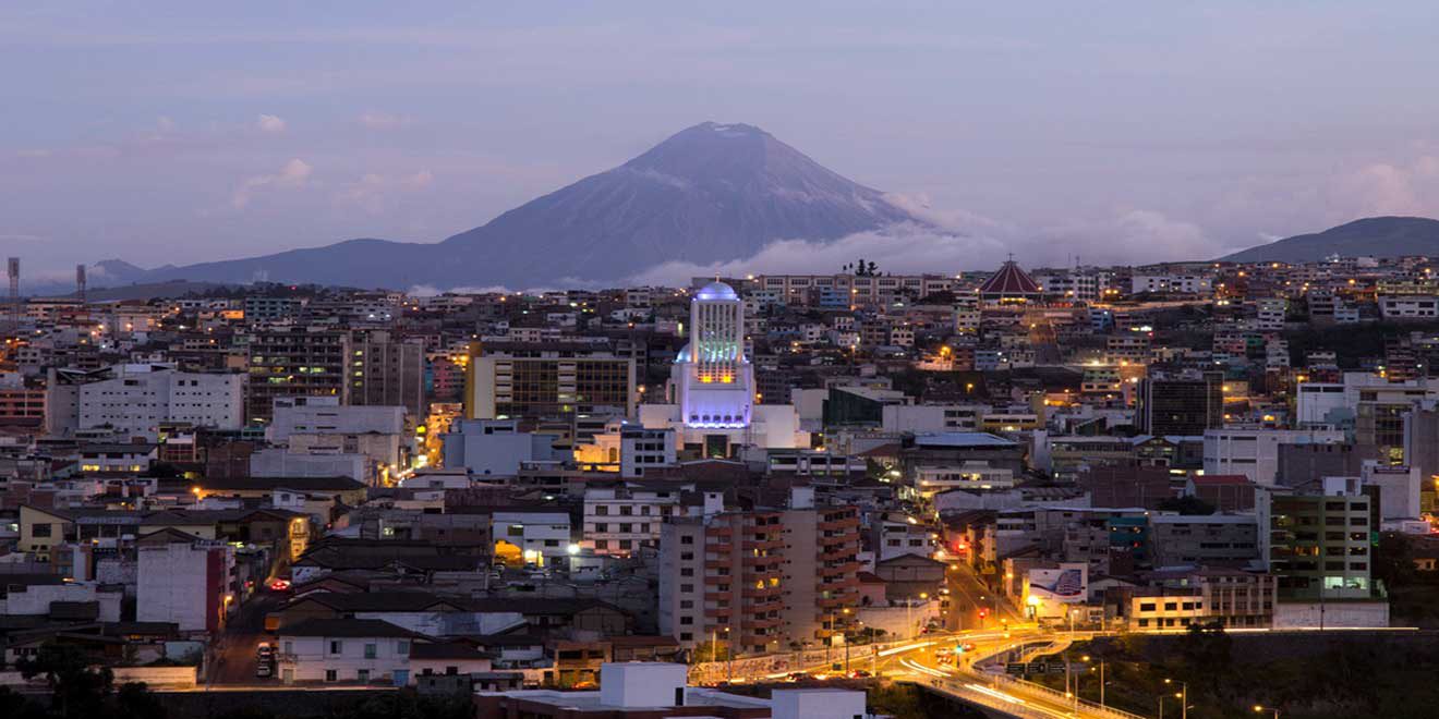
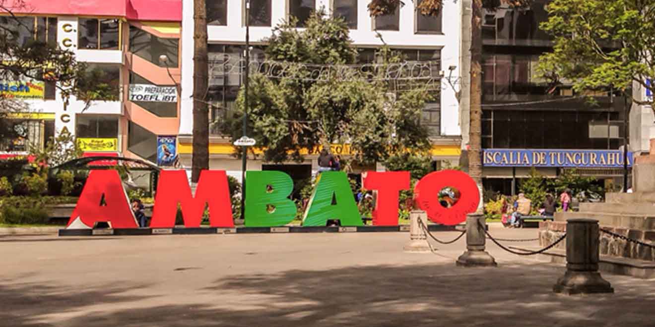
Ambato is a nice city, the capital of the Tungurahua province. It is the major hub for travelers heading from Quito to Riobamba o Guayaquil. Ambato's full name is "San Juan de Ambato". Known as the "City of Flowers and Fruits" - "Ciudad de las Flores y las Frutas" in Spanish, due to the great variety of fruits produced in this city. Also, known as "Land of the Three Juans" for being the birthplace Juan Montalvo, Juan León Mera, and Juan Benigno Vela. All three Juans are important characters in the history and literature of Ecuador. Their statues are all around in Ambato's parks, museums, and buildings. About the altitude, Ambato has an elevation of 8,455 feet (2,577 meters) above sea level.
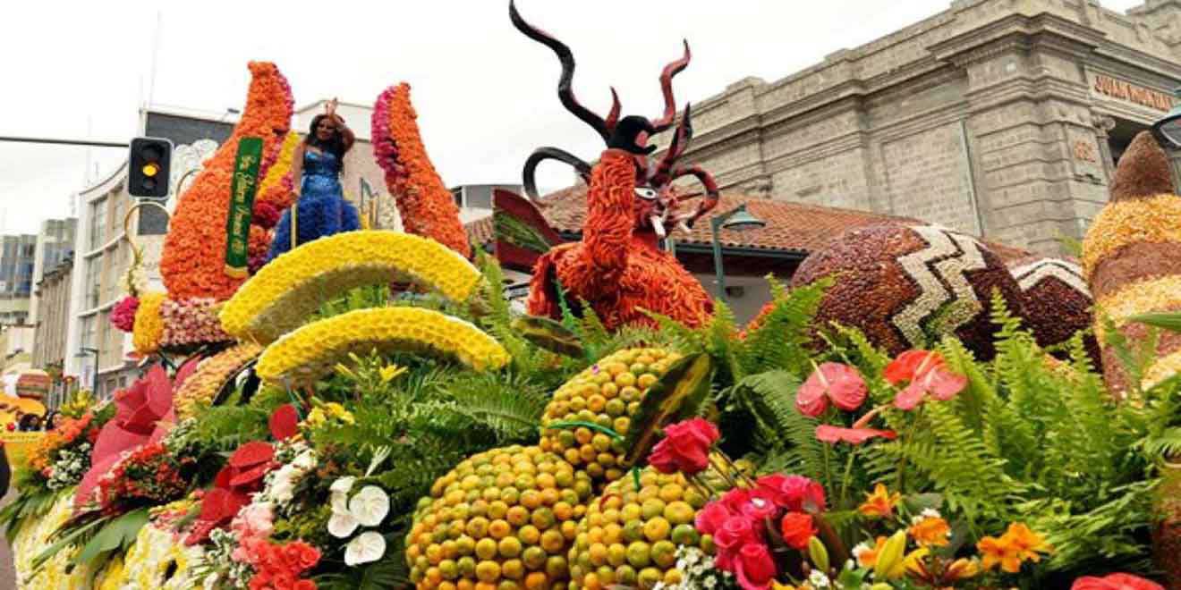
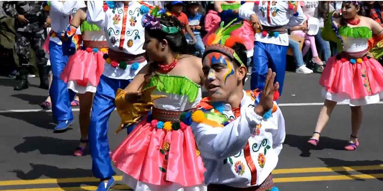
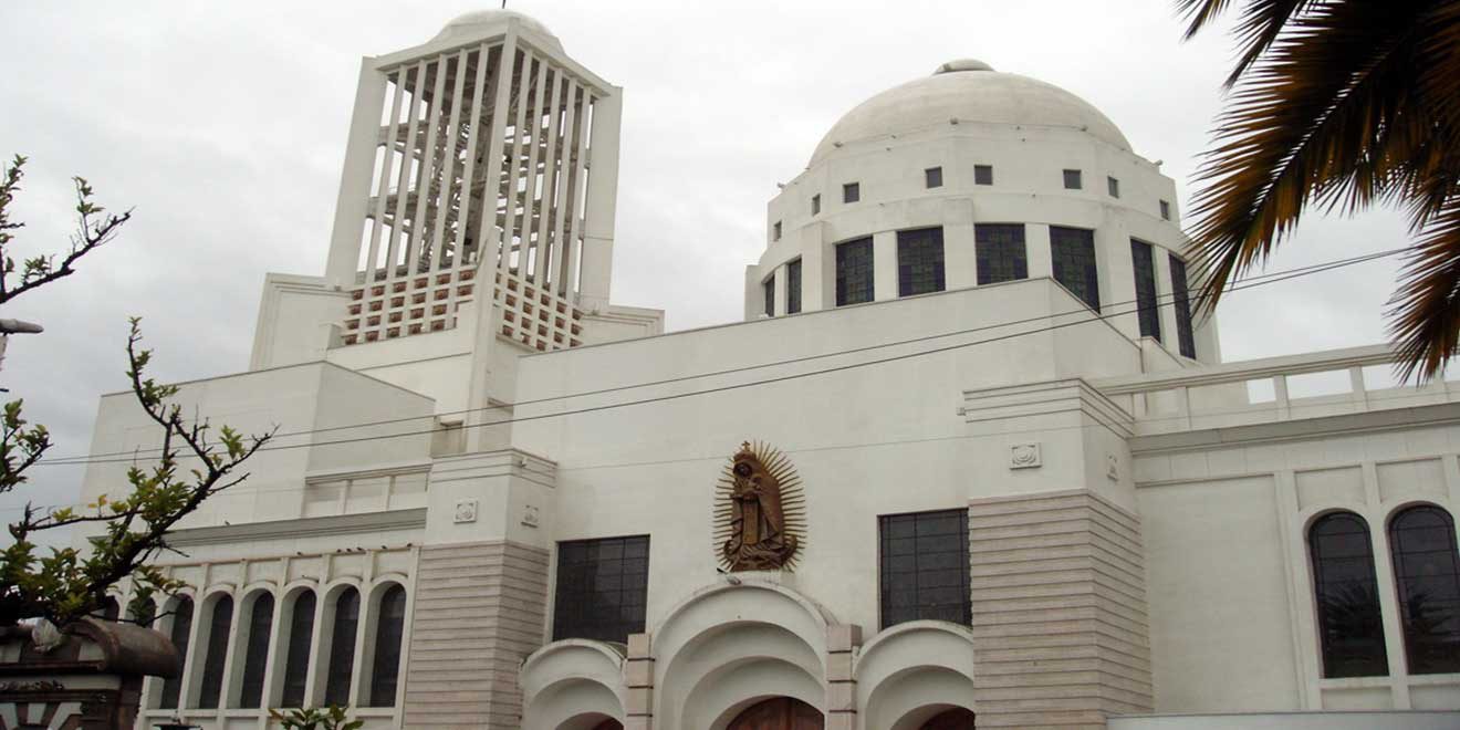
One of the main attractions of Ambato is the Fruit and Flowers Festival. This takes place the last two weeks of February, around Carnival. The festival consists of the blessing of bread and fruits in the main cathedral. Another holiday is the Independence of Ambato on November 12. Other attractions are the 10 de Agosto Plaza, the House of Juan Montalvo, and Juan Montalvo Park. Near the Cathedral are some nice buildings.
Climate is nice year-round. Usually, days are warm and nights are cool. The average temperature typically varies from 47°F to 69°F (8°C to 21°C) and is rarely below 43°F (6°C) or above 73°F (23°C). There are only two seasons: rainy and dry. Dry season goes from June to December, while the rainy season goes from January to May. April is the rainiest month. The best time of year to visit Ambato for warm-weather activities is from March to December.