Papallacta, Napo
Cayambe Coca National Park
Papallacta
Papallacta
Papallacta
Papallacta
previous arrow
next arrow
Slider

Papallacta

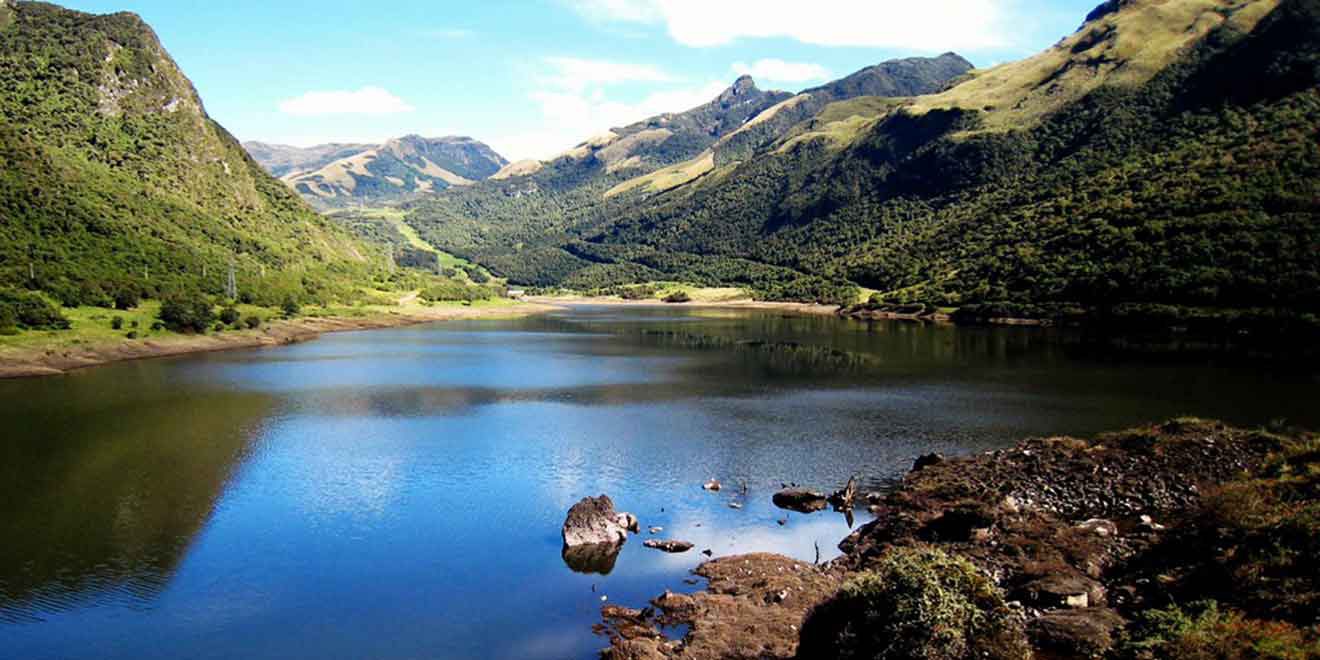
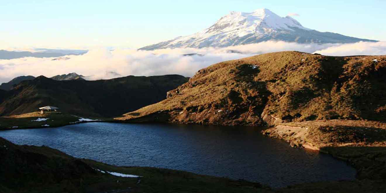
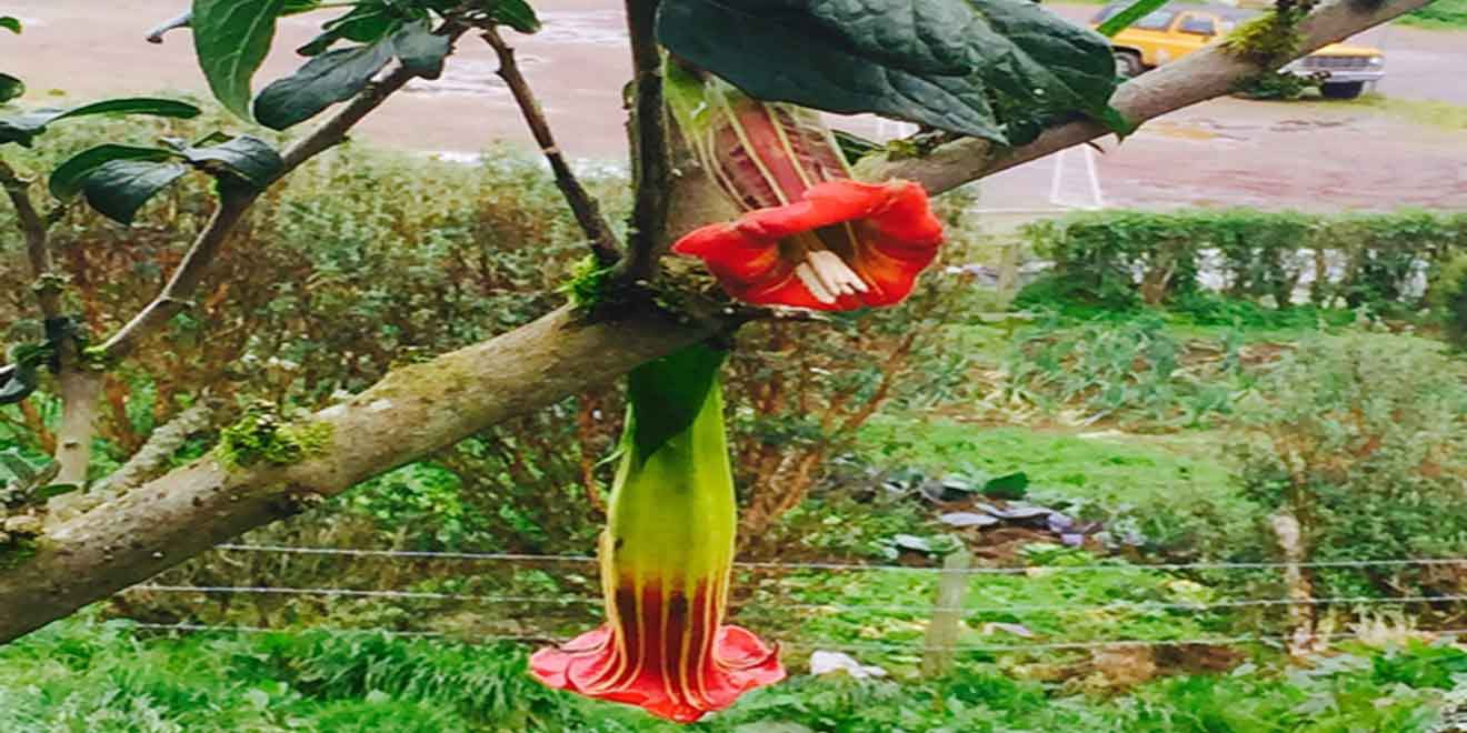
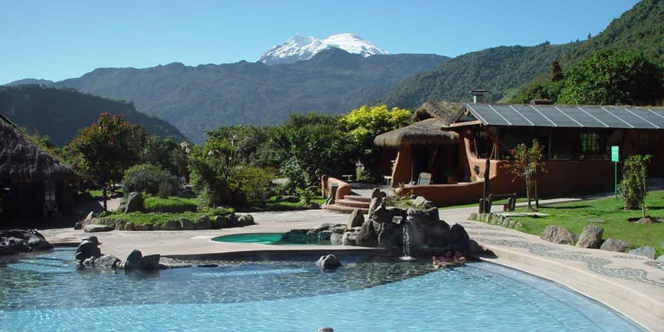
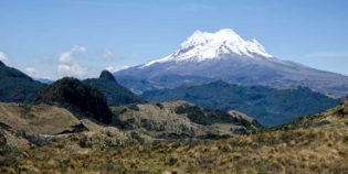
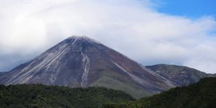
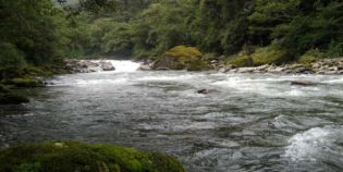
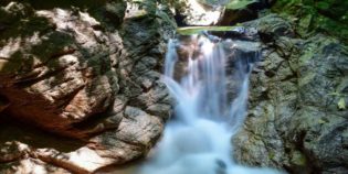
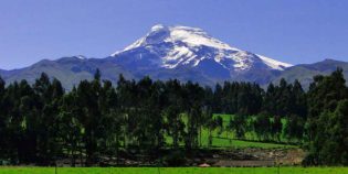
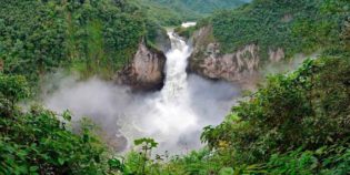
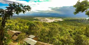
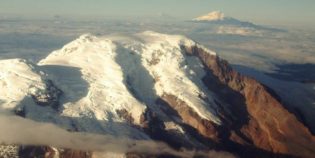
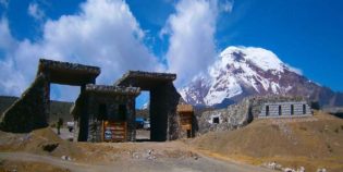
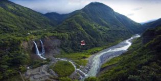
Papallacta is a small town located in the Napo province, 20 miles west from Quito. Nestled between the Cayambe and the Antisana volcanoes. The town has an elevation of 10,800 ft. (3,300 mt.) Things to do include going to the Papallacta lake and the Termas Papallacta (hot springs). The subterranean activity of the Antisana volcano heats the underground water. It also gives it a mix of calcium, sulfates, chloride, and sodium forming these natural thermal waters, which have little or no sulfur odor. All this makes the hot springs a natural and beautiful place. All this makes the hot springs a natural and beautiful place. Another attraction is birding. Due to the proximity with the Amazon Basin 6 mi. (10 km.) to the east. Papallacta area is surrounded by verdant mountain slopes and tropical flowers. It is a great place to practice bird watching. In fact, there are dozens of hummingbird species in the area.

The climate is generally cold and rainy. Usually, nights are cold, while days have an intense sun. The temperature goes between 86°F to 158°F (30°C to 70°C). The average is 57°F (14°C).

From Quito, you can catch a bus at the terminal terrestre (bus station). Most buses that go to the Amazon pass by Papallacta. The trip is about 40 mi. (64 km.)  but it may take up to 2 hours to get there.

Facts & Information

Language: Spanish
Currency: US Dollar

Location: South America
Country: Ecuador
Region: Amazon
Province: Napo
Weather / Climate

Photos / Images / 360 Street view

Map location / Where is it located?

Get Directions

  show options

Nearby destinations to go

Antisana Ecological Reserve is a protected area. Located in Napo, Ecuador. About 62 mi (100 km) from Quito. The centerpiece of this nature reserve is the Antisana Volcano. Ecuador's fourth ...
Tena is a peaceful town, capital of the Napo province, Ecuador. Tena is also known as "Cinnamon Capital" — "Capital de la Canela" in Spanish. "Canela" means "cinnamon" — Tena ...

Other attractions to visit
Points of Interest & landmarks

Reventador is one of Ecuador's most active volcanoes. It has an elevation of 11,683 ft. (3,562 m.) above sea level.  The caldera is 2.5 mi. (4 km.) wide in diameter. ...
Rio Malo waterfall is a waterfall located in the Napo province, in the Amazon Region of Ecuador. It is part of The Cayambe-Coca Ecological Reserve. This waterfall has a fall of ...
San Rafael waterfall, in the Coca River, is one of the largest waterfalls in the eastern part of Ecuador. This waterfall has a fall of more than 492 ft. (150 ...
Pimpilala waterfalls are located in the community of Cando, parish Talag, southwest of the city of Tena. Tena is the capital of the Napo province, in the Amazon Region of ...
Llanganates National Park is a protected area part of the Tungurahua and Napo in Ecuador. This park has stunning lakes, rivers, mountains, and cloud forests. Llanganates means "beautiful hill". The ...
Cayambe Coca National Park is a protected area of damp forests and high grass plains. It extends throughout the provinces of Imbabura, Pichincha, Napo, and Sucumbios. Located about 24 mi. ...
error: Alert: Content is protected !!