Cayambe volcano
Cayambe volcano
Cayambe volcano
Cayambe volcano
Cayambe volcano
previous arrow
next arrow
Slider

Cayambe volcano

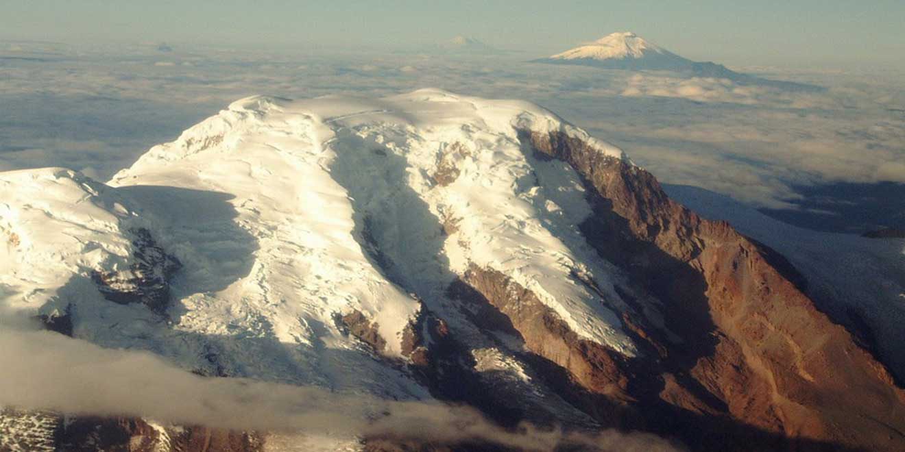
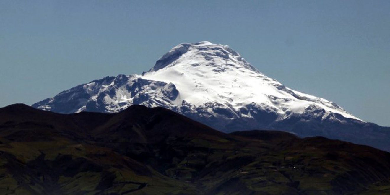
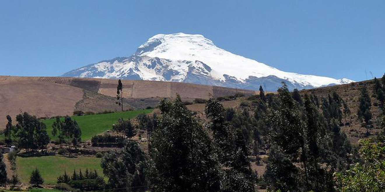
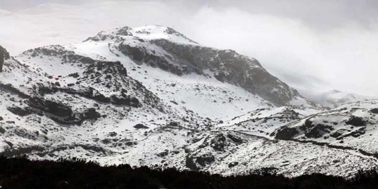
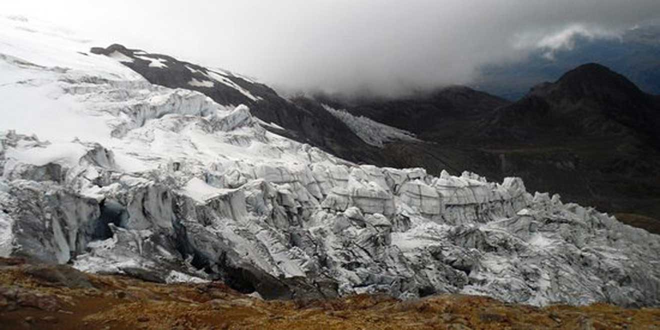
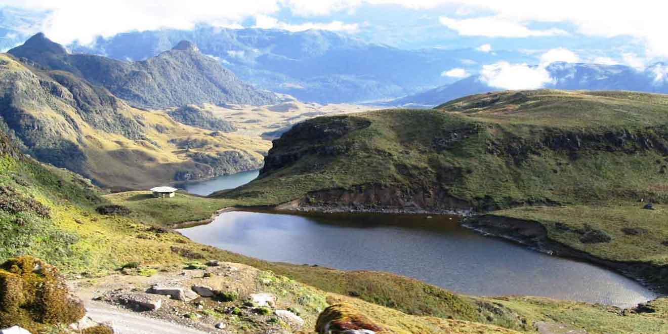
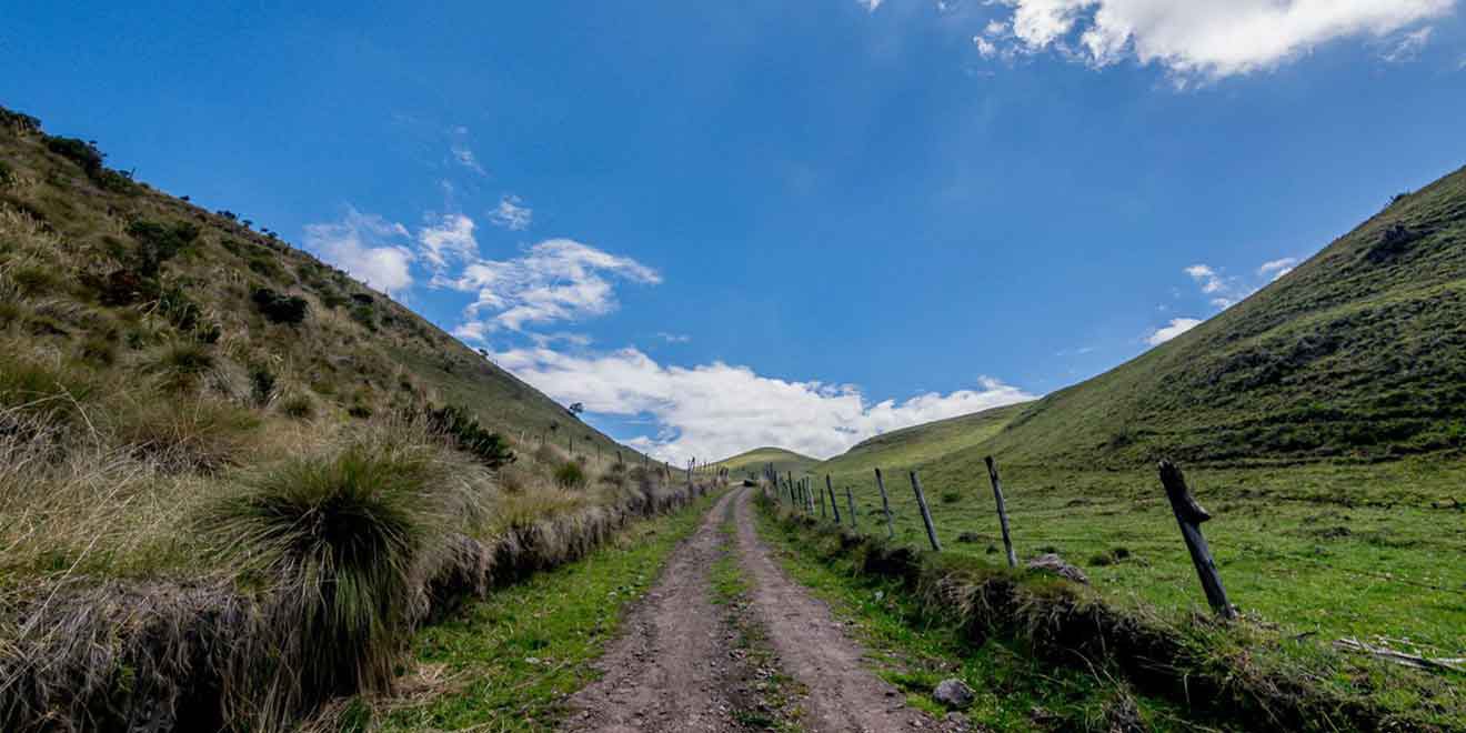
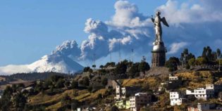
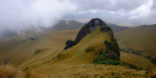
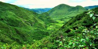
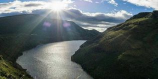
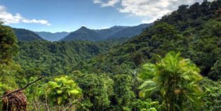
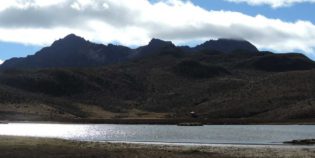
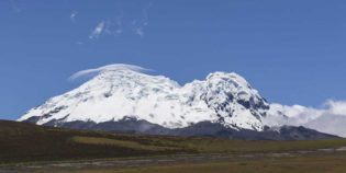
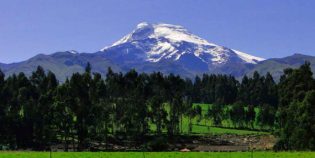
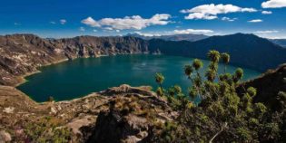
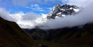
Cayambe volcano is a snow-capped volcano with an altitude of 18,996 ft. (5,790 m.) above sea level. Located 37 mi. (60 km.) Northeast of Quito. Cayambe volcano is part of the Cayambe Coca National Park and the third-highest mountain in Ecuador. Also, it is the only summit that lies above the equatorial line. Cayambe is an active volcano, but its last eruption was from 1785 to 1786. It has three most notorious submits Cumbre Maxima 18,996 ft. (5,790 m.), Cumbre Norte 18,828 ft. (5,739 m.), and Cumbre Oriental 18,749 ft. (5,715 m.) Around the volcano, there is damp forests, and high grass plains or páramo. Being a good destination for bird watching.

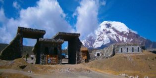
Although climbing the Cayambe is not difficult, it is dangerous due to snowstorms, high winds, and avalanches. In fact, its submit is the coldest place on the equator. Hence, Cayambe comes from the Quichua word "Cahan" which means "high cold place." The Cayambe volcano has a refuge, "Ruales Oleas Berge" at 15420 ft. (4,700 m.) An overnight stay costs $20 but requires a reservation in advance. There is no fee for climbing or camping.

The best time to visit is during the dry season from June to December, but the best months for climbing are from October to January. You need warm clothing, rain jacket, hiking shoes, hat, gloves, water, and snacks.

Facts & Information

Language: Spanish
Currency: US Dollar

Location: South America
Country: Ecuador
Region: Andes
Province: Pichincha
Nearest city: Quito

Altitude: 18,996 ft (5,790 m)
Coordinates: 0.029°N 77.986°W
Last eruption: 1786
Weather / Climate

Photos / Images / 360 Street view

Map location / Where is it located?

Get Directions

  show options

Nearby destinations to go

Machachi is a town located 35 km. to the south of the capital of Ecuador, Quito. Machachi is set within a ring of hills and volcanoes as the Ilinizas, Corazón, ...
Quito is Ecuador's capital. This beautiful city is nestled in a valley at the base of the Pichincha Volcano. Quito boasts one of the largest historical districts in Latin America. ...

Other attractions to visit
Points of Interest & landmarks

The Pichincha volcano is an active stratovolcano located next to the city of Quito, capital of Ecuador. The three highest peaks of the Pichincha volcano, known as "Los Pichinchas" are ...
Pululahua Geobotanical Reserve is a calm and isolated volcanic crater. This protected area is inside the Pululahua volcano. It is rich with a great diversity of fauna and flora. "Reserva ...
The Pasochoa Wildlife Refuge is located 45 minutes from Quito, Ecuador. Pasochoa protects a unique forest around an extinct volcanic crater. In fact, the last time the Pasochoa volcano erupted ...
Antisana is an impressive and beautiful double cone volcano. The Antisana volcano is located inside the Antisana Ecological Reserve, between the provinces of Napo and Pichincha. This is about 31 ...
Condor-Machay is a waterfall located in the town of Rumipamba. This is 17 km. from Quito, Ecuador. Condor-Machay means "Nest of the Condor" in the Quichua language.  The hike to the Condor-Machay waterfall ...
Mindo-Nambillo Ecological Reserve is located two hours north of Quito, Ecuador. Its main feature is the Mindo-Nambillo Cloud Forest. Mindo-Nambillo biodiversity allows more than 350 bird species to live in ...
Secas Lagoon, "Laguna de Secas" in Spanish, is a lagoon located in the Pichincha province, Ecuador. The closest town is Pintag. Secas lagoon was formed when the Antisana volcano erupted ...
error: Alert: Content is protected !!