Mindo-Nambillo Ecological Reserve
previous arrow
next arrow
Slider

Mindo-Nambillo Ecological Reserve

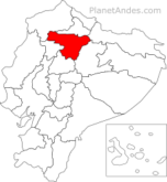
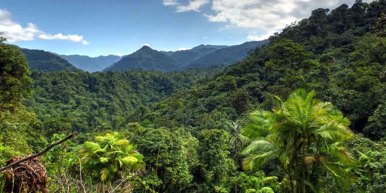
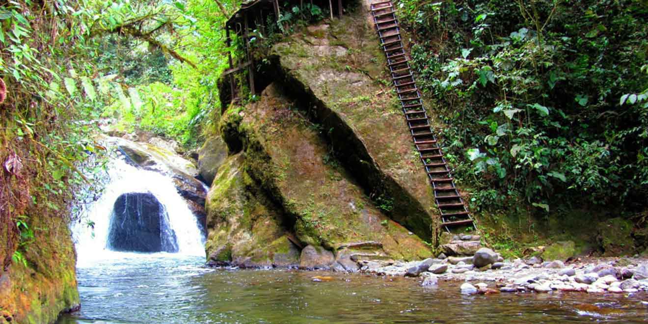
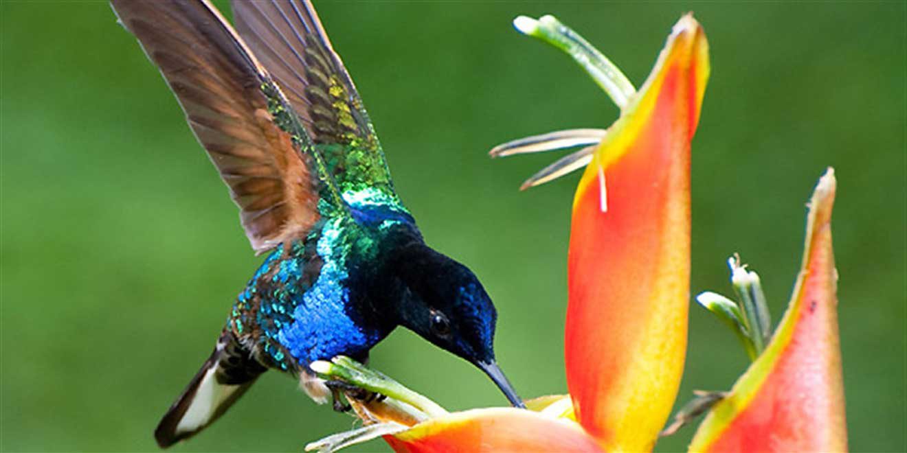
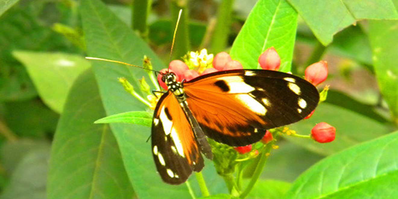
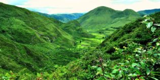
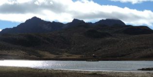
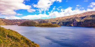
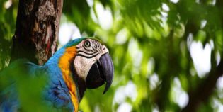
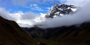
Mindo-Nambillo Ecological Reserve is located two hours north of Quito, Ecuador. Its main feature is the Mindo-Nambillo Cloud Forest. Mindo-Nambillo biodiversity allows more than 350 bird species to live in this area. Certainly, Mindo Cloud Forest is the perfect place for bird watching. For instance, visitors can see hummingbirds, cock-of-the-rocks, barbet toucans, golden-headed quetzals, and more. About the altitude, Mindo has an elevation of 3,280 to 9,842 feet (1,000 to 3,000 meters) above sea level.

Mindo town is close to the Mindo-Nambillo Ecological Reserve. There is a bus from Quito that stops right in the middle of Mindo. By bus (Flor del Valle) go to La Ofelia terminal terrestre (bus terminal), ride cost  $3. Taking a taxi costs $10.

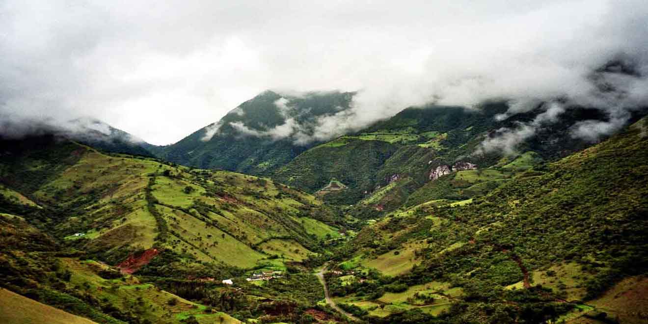
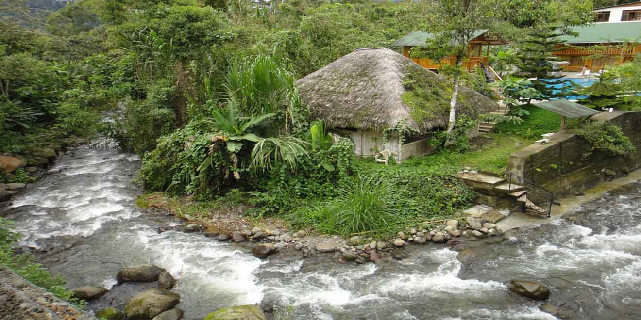
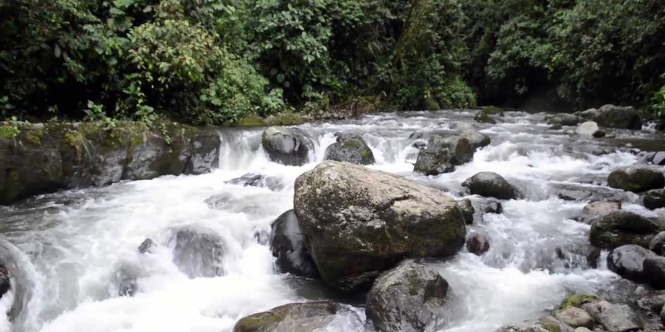
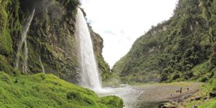
From Mindo, as a tourist, you may begin the "Ruta de Cacao" (Cocoa Route) a nice tour that shows how to make the perfect chocolate from scratch. Mindo-Nambillo Ecological Reserve is also a popular tourist destination for hiking, rappelling, mountain biking, rock climbing, rafting, trekking, canyoning, and kayaking. Above all, visitors come to explore the diverse natural landscapes of Ecuador. Things to do include taking a "tarabita" (cable car ride) $2; tubing down the Mindo river $6, zip-lining through the cloud forest canopy $15, visiting the Nambillo waterfall, and more.

Facts & Information

Language: Spanish
Currency: US Dollar

Location: South America
Country: Ecuador
Region: Andes
Province: Pichincha
Nearest city‎: ‎Quito, Mindo

Elevation: 3,280 to 9,842 ft (1,000 to 3,000 m)
Temperature: 60°-75°F (15°-23°C)
Weather / Climate

Photos / Images / 360 Street view

Map location / Where is it located?

Get Directions

  show options

Nearby destinations to go

Machachi is a town located 35 km. to the south of the capital of Ecuador, Quito. Machachi is set within a ring of hills and volcanoes as the Ilinizas, Corazón, ...
Quito is Ecuador's capital. This beautiful city is nestled in a valley at the base of the Pichincha Volcano. Quito boasts one of the largest historical districts in Latin America. ...

Other attractions to visit
Points of Interest & landmarks

Condor-Machay is a waterfall located in the town of Rumipamba. This is 17 km. from Quito, Ecuador. Condor-Machay means "Nest of the Condor" in the Quichua language.  The hike to the Condor-Machay waterfall ...
Antisana is an impressive and beautiful double cone volcano. The Antisana volcano is located inside the Antisana Ecological Reserve, between the provinces of Napo and Pichincha. This is about 31 ...
Pululahua Geobotanical Reserve is a calm and isolated volcanic crater. This protected area is inside the Pululahua volcano. It is rich with a great diversity of fauna and flora. "Reserva ...
The Pasochoa Wildlife Refuge is located 45 minutes from Quito, Ecuador. Pasochoa protects a unique forest around an extinct volcanic crater. In fact, the last time the Pasochoa volcano erupted ...
Secas Lagoon, "Laguna de Secas" in Spanish, is a lagoon located in the Pichincha province, Ecuador. The closest town is Pintag. Secas lagoon was formed when the Antisana volcano erupted ...
Cayambe volcano is a snow-capped volcano with an altitude of 18,996 ft. (5,790 m.) above sea level. Located 37 mi. (60 km.) Northeast of Quito. Cayambe volcano is part of ...
The Pichincha volcano is an active stratovolcano located next to the city of Quito, capital of Ecuador. The three highest peaks of the Pichincha volcano, known as "Los Pichinchas" are ...
error: Alert: Content is protected !!