Pululahua Geobotanical Reserve
previous arrow
next arrow
Slider

Pululahua Geobotanical Reserve

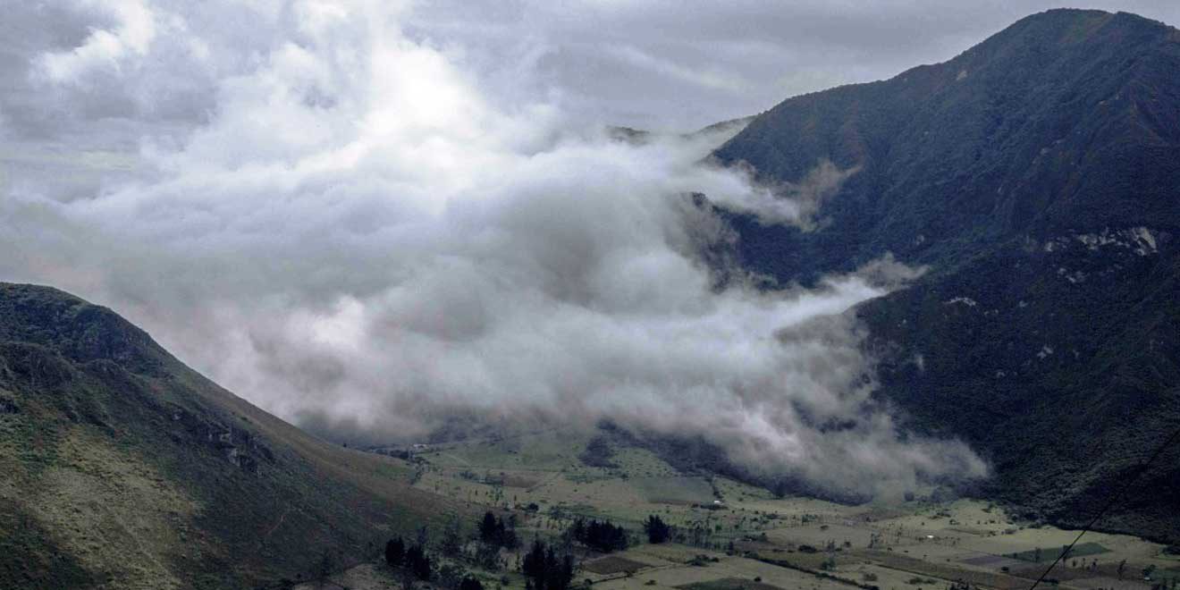
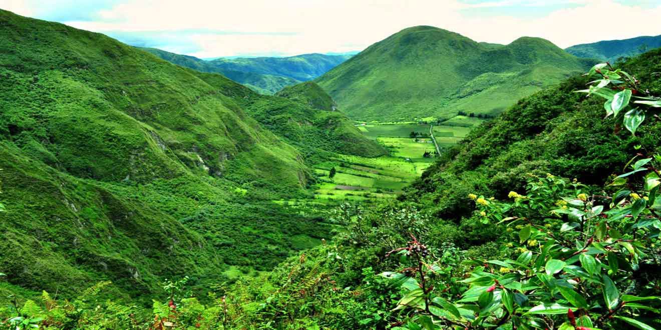
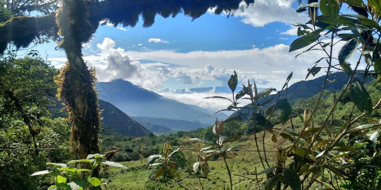
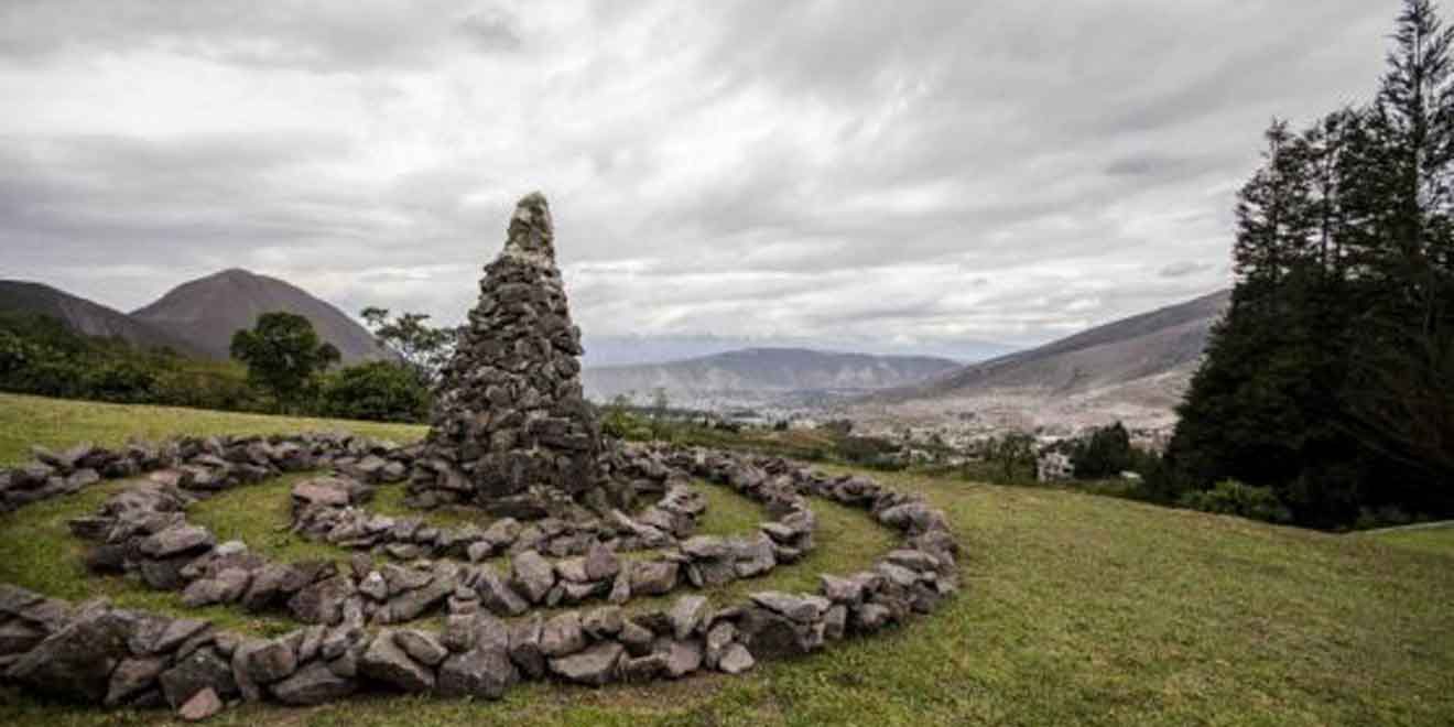
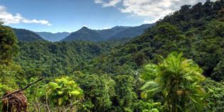
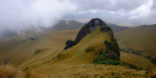
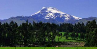
Pululahua Geobotanical Reserve is a calm and isolated volcanic crater. This protected area is inside the Pululahua volcano. It is rich with a great diversity of fauna and flora. "Reserva Geobotánica Pululahua" in Spanish. Located 11 mi (17 km) north of Quito, Ecuador, in the northwestern part of the Pomasqui Valley. The Reserve has an area of 8,359.27 acres (3,383 hectares). Pululahua is a Quichua word that means "cloud of water", because it is usually covered with fog, especially in the afternoon. The reserve has a lookout point "mirador" as well as a coffee shop with clean restrooms. The Pululahua volcano has an altitude of 11023.62 ft (3,360 m) Its last eruption was 2300 years ago. The inhabited area has a small farming community, a horse ranch, and a couple of lodges.

From Quito, take the route Quito-Calacali, 4.5 mi (6 km) from the "Mitad del Mundo" statue. At Caspigasi, there is a gas station in this area, take a detour to the right and continue 1.2 km towards the "mirador." Bus tickets are $2.5.

Facts & Information

Language: Spanish
Currency: US Dollar

Location: South America
Country:Ecuador
Province:Pichicha
Nearest city‎: ‎Quito

Visiting hours: 08H00 to 17H00
Entrance Cost: Free. Package tours from $20 to $50 per person.
Temperature: 68-88°F (20-31°C)
Weather / Climate

Photos / Images / 360 Street view

Map location / Where is it located?

Get Directions

  show options

Nearby destinations to go

Quito is Ecuador's capital. This beautiful city is nestled in a valley at the base of the Pichincha Volcano. Quito boasts one of the largest historical districts in Latin America. ...
Machachi is a town located 35 km. to the south of the capital of Ecuador, Quito. Machachi is set within a ring of hills and volcanoes as the Ilinizas, Corazón, ...

Other attractions to visit
Points of Interest & landmarks

Antisana is an impressive and beautiful double cone volcano. The Antisana volcano is located inside the Antisana Ecological Reserve, between the provinces of Napo and Pichincha. This is about 31 ...
The Pasochoa Wildlife Refuge is located 45 minutes from Quito, Ecuador. Pasochoa protects a unique forest around an extinct volcanic crater. In fact, the last time the Pasochoa volcano erupted ...
Secas Lagoon, "Laguna de Secas" in Spanish, is a lagoon located in the Pichincha province, Ecuador. The closest town is Pintag. Secas lagoon was formed when the Antisana volcano erupted ...
The Pichincha volcano is an active stratovolcano located next to the city of Quito, capital of Ecuador. The three highest peaks of the Pichincha volcano, known as "Los Pichinchas" are ...
Cayambe volcano is a snow-capped volcano with an altitude of 18,996 ft. (5,790 m.) above sea level. Located 37 mi. (60 km.) Northeast of Quito. Cayambe volcano is part of ...
Mindo-Nambillo Ecological Reserve is located two hours north of Quito, Ecuador. Its main feature is the Mindo-Nambillo Cloud Forest. Mindo-Nambillo biodiversity allows more than 350 bird species to live in ...
Condor-Machay is a waterfall located in the town of Rumipamba. This is 17 km. from Quito, Ecuador. Condor-Machay means "Nest of the Condor" in the Quichua language.  The hike to the Condor-Machay waterfall ...
error: Alert: Content is protected !!