Cerro Blanco Protected Forest, Guayaquil
previous arrow
next arrow
Slider

Cerro Blanco Forest

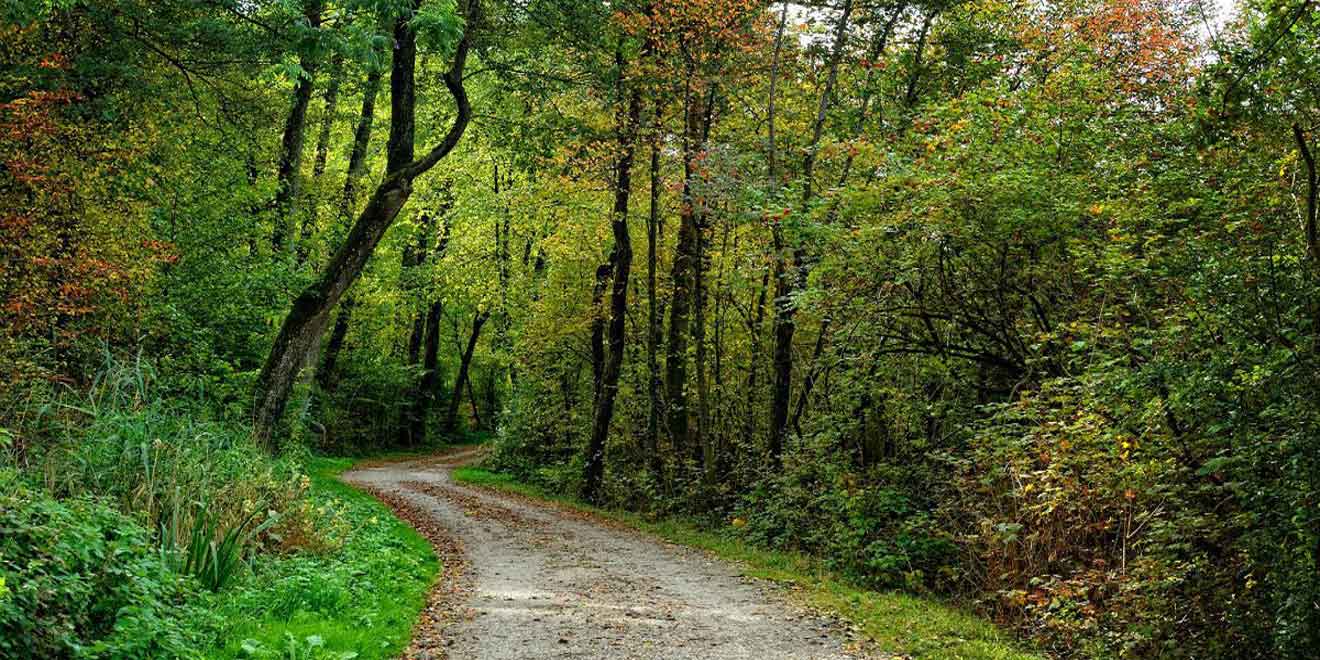
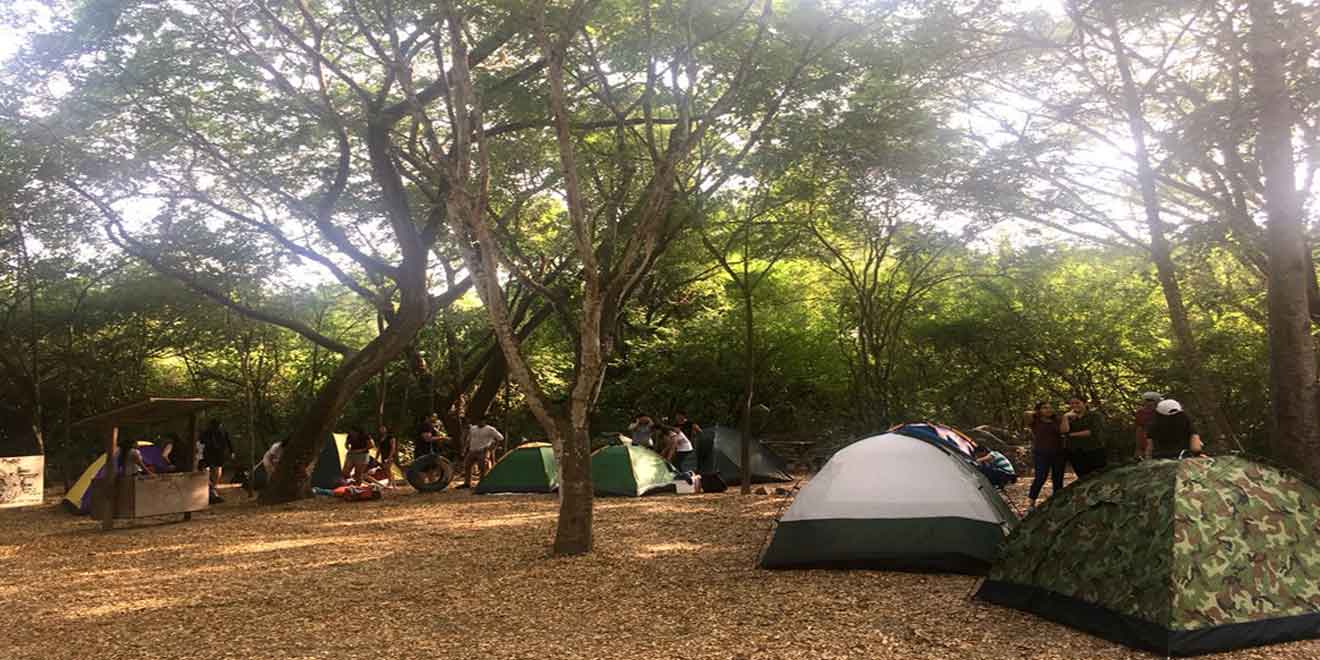
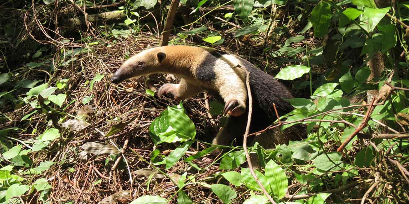
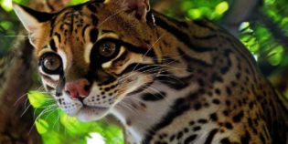
Cerro Blanco Forest is a tropical dry forest reserve in the Guayas province, Ecuador. It is located 20 minutes from the city of Guayaquil. Cerro Blanco supports more than 500 vascular plant species, one of the highlights is seeing the majestic ceibo trees up-close. Besides the ceibo, Cerro Blanco Forest is a birdwatcher's paradise home to more than 200 bird species, including hawks, kites, falcons, and more. It also has a diversity of mammals such as jaguar, ocelot, mantled howler monkey, kinkajou, agouti, collared peccary, and crab-eating raccoon, among other species. Several hikes are available, ranging in length and difficulty.

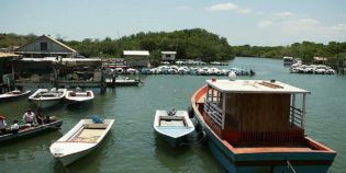
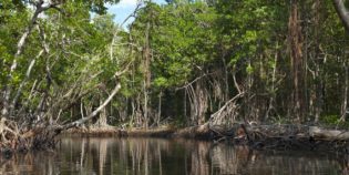
The reserve is one of the most accessible protected areas in Ecuador. It is located directly off the coastal highway from Guayaquil to Salinas, at kilometer 16. By bus, go to the terminal terrestre (bus terminal) and buy a ticket to Guayaquil-Salinas ($3). Ask the bus driver to stop at the park entrance. There is no miss, the entrance has many signs. Taxis charges $10-$15 one way. The access to the mangroves is via Puerto Hondo, a small community less than a kilometer further down the highway from Cerro Blanco.

Facts & Information

Language: Spanish
Currency: US Dollar

Location: South America
Country: Ecuador
Region: Coast
Province: Guayas
Nearest city‎: ‎Guayaquil

Temperature: 70°-90°F (21°-32°C)
Weather / Climate

Photos / Images / 360 Street view

Map location / Where is it located?

Get Directions

  show options

Nearby destinations to go

Guayaquil is Ecuador's largest city, major port, leading commercial center, and capital of the Guayas province. It is famous for being the gateway to the Galapagos Islands and for its ...
Duran is a canton of Ecuador, located in the Guayas Province, near Guayaquil. The climate in Duran is tropical. During the rainy season, from December to April, weather is sunny, ...
General Villamil Playas is known simply as "Playas" is the closest beach to Guayaquil, Ecuador. Only 60 mi (96 km) away — an hour's drive by car. General Villamil Playas ...
Samborondón is a canton in the province of Guayas, Ecuador. Samborondón is located in the lower basin of the Guayas River, which separates it from Guayaquil. Also known as "The ...
Puná Island is a large island off the coast of the Gulf of Guayaquil, Ecuador. It has a protected area of 855 square km., well known for its great mangroves ...

Other attractions to visit
Points of Interest & landmarks

Churute Mangroves Ecological Reserve near Guayaquil. It is the largest protected area of Mangrove Forest in Ecuador. It contains approximately 50,000 hectares of mangroves and dry tropical forests. Manglares Churute is ...
The Lake National Park recreation area is a protected area in Guayas, Ecuador. The reserve is located one hour from Guayaquil, located at Kilometer 23 via the Coast (E-40). The ...
7 Cascadas is a group of seven waterfalls located 57 mi. (91 km.) from Guayaquil, Ecuador. This is in the Cooperativa 23 de Noviembre, a small town in the Naranjal ...
Santay Island (Isla Santay in Spanish) is a recreation area located between the cities of Guayaquil and Duran, in the Guayas river. Guayaquil and the Santay Island are connected through ...
error: Alert: Content is protected !!