Llanganates National Park

Llanganates National Park is a protected area part of the Tungurahua and Napo in Ecuador. This park has stunning lakes, rivers, mountains, and cloud forests. Llanganates means “beautiful hill”. The Llanganates Mountains Range also part of the park holds the myth of a hidden treasure. Legend has it that in ancient times general Rumiñahui ordered ... Read more

Mache-Chindul Ecological Reserve

Mache-Chindul Ecological Reserve protects some of the last remaining tropical dry and rain forests of the Ecuadorian coast. This natural area is a biodiversity hotspot due to the enormous variety of plants and wildlife. It is a place of exotic landscapes, waterfalls and natural lagoons.

Podocarpus National Park

Podocarpus National Park is located in the provinces of Zamora Chinchipe and Loja in Ecuador. It covers an area of 1460 km2. Podocarpus has some of the greatest plant and animal diversity in the world such as mountain tapirs, spectacled bears, northern pudus, and jaguars. Among Podocarpus National Park’s main attractions are the Podorosa waterfall, Higuerones ... Read more

previous arrow
next arrow
Slider

Parque Lago Recreational Area

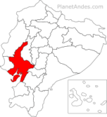
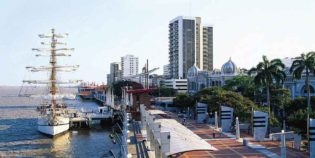
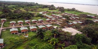
The Lake National Park recreation area is a protected area in Guayas, Ecuador. The reserve is located one hour from Guayaquil, located at Kilometer 23 via the Coast (E-40). The park is accessed at km 26 of the Guayaquil – Salinas highway, two kilometers after the tollbooth. Parque Lago covers an area of ​​2,283 hectares and an artificial lake. The park is ideal to visit with children and pets. It offers green areas where you can practice sports such as football, volleyball and cycling. As well as water sports talez such as boating, kayaking and sailing. In addition, the park has spaces where family and friends can gather to make barbecues and eat outdoors.

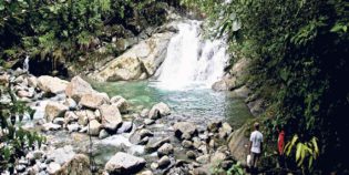
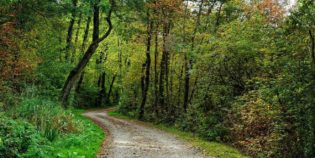
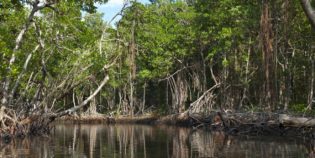
Parque Lago has more than 160 species of birds such as swallows, frigates, white heron. You can also see the dry and tropical forest typical of a region. The park serves the general public from Monday to Sunday from 08:00 to 16:30. Remember to bring fresh clothes and mosquito repellent with you.

Facts & Information

Language: Spanish
Currency: US Dollar

Location: South America
Country: Ecuador
Region: Coast
Province: Guayas
Nearest city‎: ‎Guayaquil

Temperature: 70°-90°F (21°-32°C)
Weather / Climate

Photos / Images / 360 Street view

Map location / Where is it located?

Get Directions

  show options

Nearby destinations to go

Samborondón is a canton in the province of Guayas, Ecuador. Samborondón is located in the lower basin of the Guayas River, which separates it from Guayaquil. Also known as "The ...
Duran is a canton of Ecuador, located in the Guayas Province, near Guayaquil. The climate in Duran is tropical. During the rainy season, from December to April, weather is sunny, ...
Puná Island is a large island off the coast of the Gulf of Guayaquil, Ecuador. It has a protected area of 855 square km., well known for its great mangroves ...
General Villamil Playas is known simply as "Playas" is the closest beach to Guayaquil, Ecuador. Only 60 mi (96 km) away — an hour's drive by car. General Villamil Playas ...
Guayaquil is Ecuador's largest city, major port, leading commercial center, and capital of the Guayas province. It is famous for being the gateway to the Galapagos Islands and for its ...

Other attractions to visit
Points of Interest & landmarks

Cerro Blanco Forest is a tropical dry forest reserve in the Guayas province, Ecuador. It is located 20 minutes from the city of Guayaquil. Cerro Blanco supports more than 500 ...
7 Cascadas is a group of seven waterfalls located 57 mi. (91 km.) from Guayaquil, Ecuador. This is in the Cooperativa 23 de Noviembre, a small town in the Naranjal ...
Santay Island (Isla Santay in Spanish) is a recreation area located between the cities of Guayaquil and Duran, in the Guayas river. Guayaquil and the Santay Island are connected through ...
Churute Mangroves Ecological Reserve near Guayaquil. It is the largest protected area of Mangrove Forest in Ecuador. It contains approximately 50,000 hectares of mangroves and dry tropical forests. Manglares Churute is ...
error: Alert: Content is protected !!