Ilinizas volcano
Ilinizas volcano
previous arrow
next arrow
Slider

Ilinizas Ecological Reserve

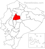
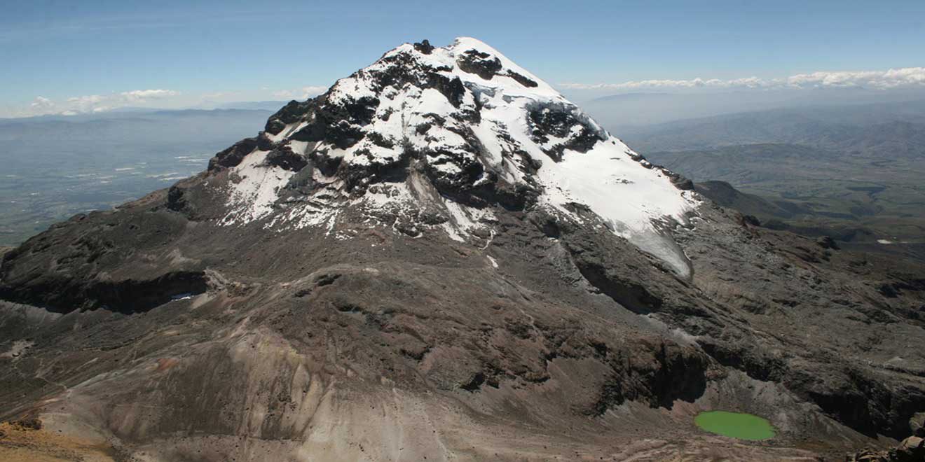
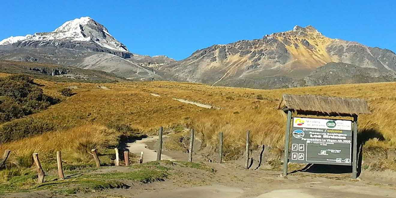
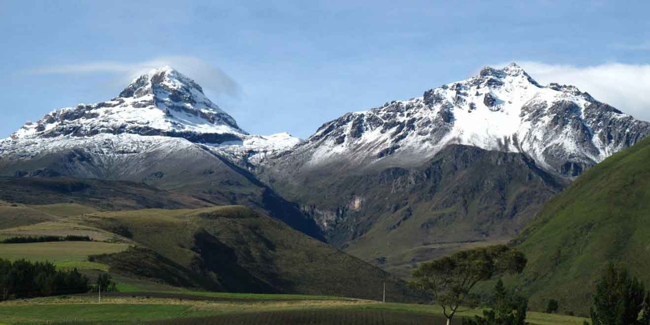
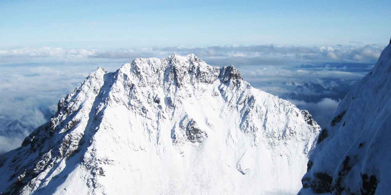
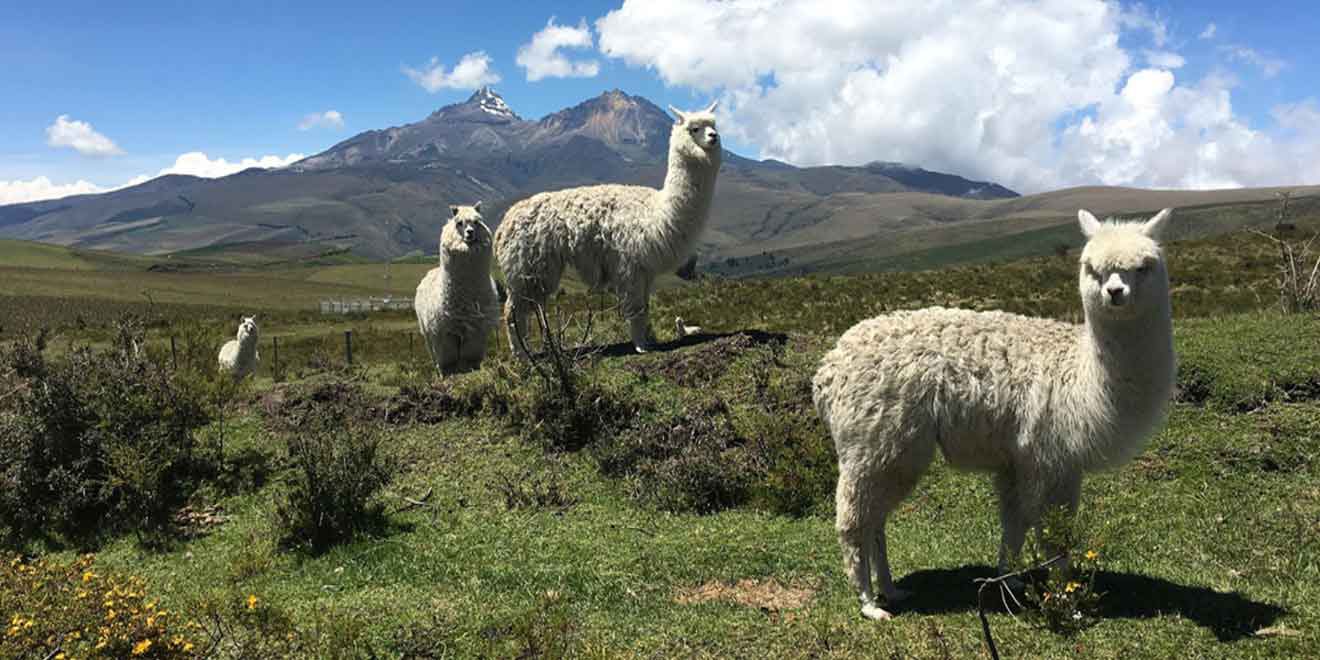
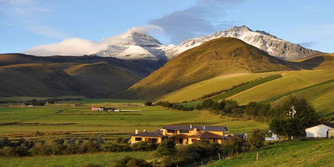
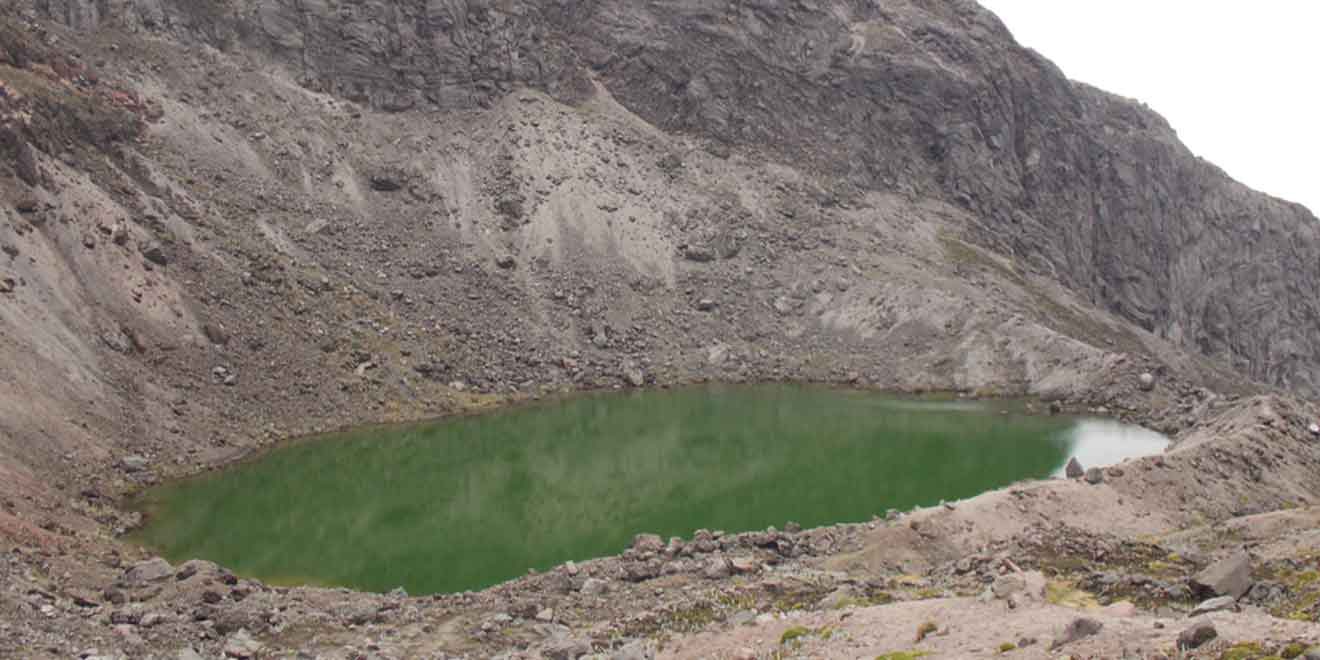
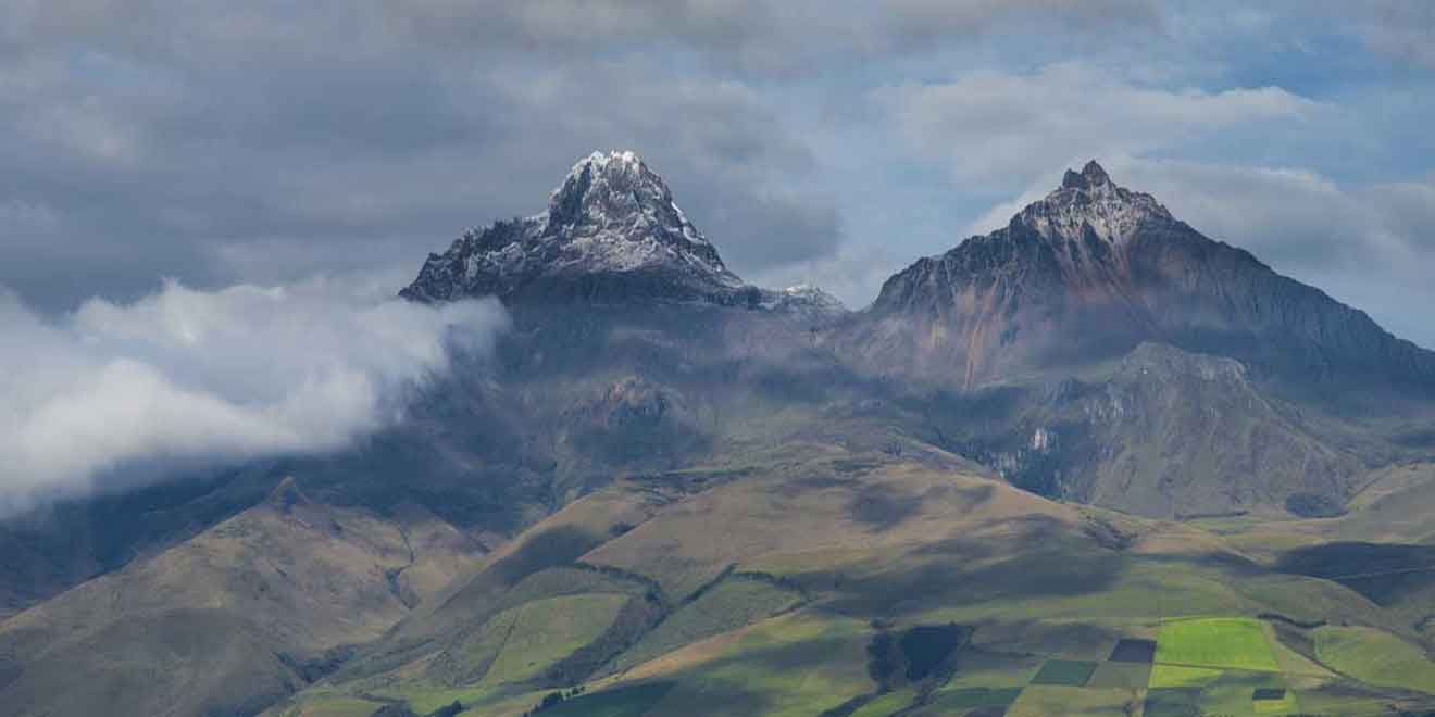
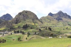
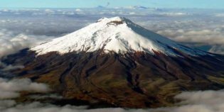
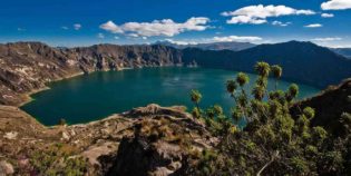
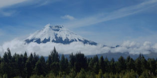
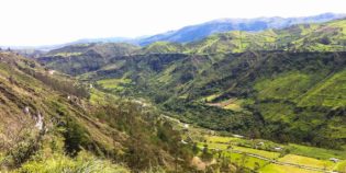
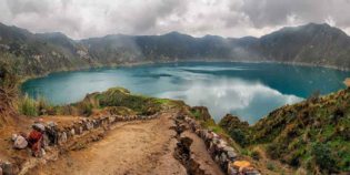
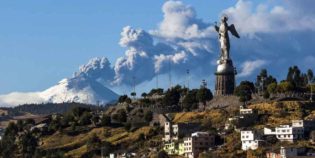
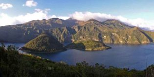
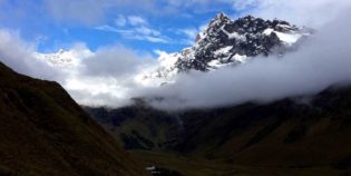
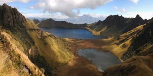
Ilinizas Ecological Reserve, also known as Ilinizas National Park, is a protected area about 149,000 hectares (368,187 acres.) The reserve is located between Cotopaxi and Pichincha provinces in Ecuador. It is 34 mi (55 km) south of Quito and extends through the Quilotoa Loop area. Ilinizas Ecological Reserve contains different volcanoes, springs, streams, rivers, a deep canyon, and some very attractive scenery. Ilinizas are two snow-capped volcanoes: South Iliniza 17,218 ft (5,248 m) and North Iliniza 16,818 ft (5,126 m). Another attraction is the Quilotoa is a volcanic lagoon filled with uniquely colored water, which glistens like an emerald green. On the other hand, the cloud forest is also the habitat for epiphytes such as orchids, ferns, and bromeliads.

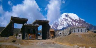
From Quito, by car, take the Panamericana Sur to Machachi (34 mi - 55 km). Take the road that leads to El Chaupi; from there take a second order road to arrive at La Virgen area. If going by bus, take a bus to Machachi, at the Quitumbe Bus Terminal; south of Quito. Get off the bus at Mercado Central de Machachi. From there, catch another bus to El Chaupi. Once you see the statue of a woman milking a cow, you know that you have arrived.

Facts & Information

Language: Spanish
Currency: US Dollar

Location: South America
Country: Ecuador
Region: Andes
Province: Cotopaxi
Nearest cities‎: Machachi (Chaupi)

Visiting hours: 08H00 to 16H00
Entrance Cost: Free
Refuge: Nuevos Horizontes ($7.5 locals. $15 foreigners / night)

Temperature: 48°-63°F (8°-20°C)
Weather / Climate

Photos / Images / 360 Street view

Map location / Where is it located?

Get Directions

  show options

Nearby destinations to go

Cotopaxi National Park is located in the Cotopaxi Province, around 50 km south of Quito. The Cotopaxi volcano - 19,347 feet (5,897 m) - is the main attraction of this ...
Zumbahua is an indigenous town located in Cotopaxi, approximately 59 mi (95 km) from Quito, Ecuador. It is known due to its proximity to the Quilotoa Lagoon, only 9 mi ...
Pujilí is an indigenous town located in the Ecuadorian province of Cotopaxi, about 20 minutes from Latacunga. This small town is not a tourist destination but is famous for its ...
Cotopaxi volcano is the best-known active volcano of Ecuador. Also, one of the most famous in South America. Located in the Cotopaxi province, about 31 mi. (50 km.) South of ...
Salcedo is a small town located in the heart of Cotopaxi, Ecuador. It is famous for its delicious and creamy fruit ice-cream known as "helados de Salcedo". Ice-cream is a ...
Latacunga is a nice city, the capital of the Cotopaxi province. Situated on a plateau — piece of land much higher than the surrounding flat areas. Located about 55 mi. (89 ...
Quilotoa Lake set in its deep volcanic crater is an extraordinary landscape, visitors can hike around the crater's rim, visit on mules or kayak across the turquoise waters. Quilotoa lake is ...

Other attractions to visit
Points of Interest & landmarks

Quilotoa Loop is a circuit of 124 mi (200 km) that crosses the carpet of patchwork farms that cover the mountainous landscape of peaks, canyons, and valleys of the area. Quilotoa ...
Limpiopungo Lagoon is a beautiful lake formed by water from the glaciers. It is located very close to the Cotopaxi volcano. Limpiopungo lagoon is like a mirror that reflects the ...
The Illinizas are a pair of volcanic mountains, their peaks are covered with glaciers. Located 55 km (34 mi) south of Quito, Ecuador. The Illinizas used to be a complete ...
Quilotoa is an inactive volcano. It features an awe-inspiring volcanic crater lake. Surrounded by massive sheer cliffs and filled with deep blue and turquoise water. Quilotoa sits in the center ...
error: Alert: Content is protected !!