San Francisco Church, Latacunga
Municipal Building, Latacunga
San Francisco Church, Latacunga
previous arrow
next arrow
Slider

Latacunga

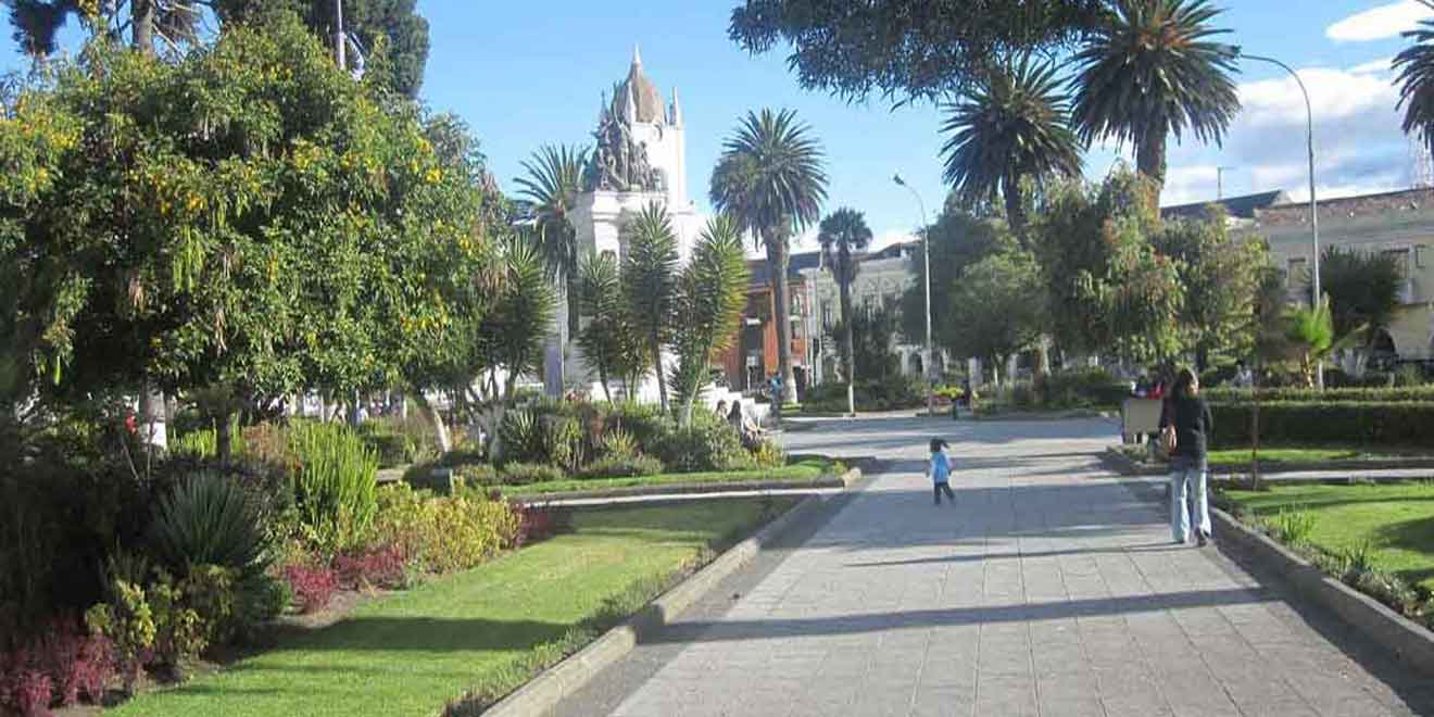
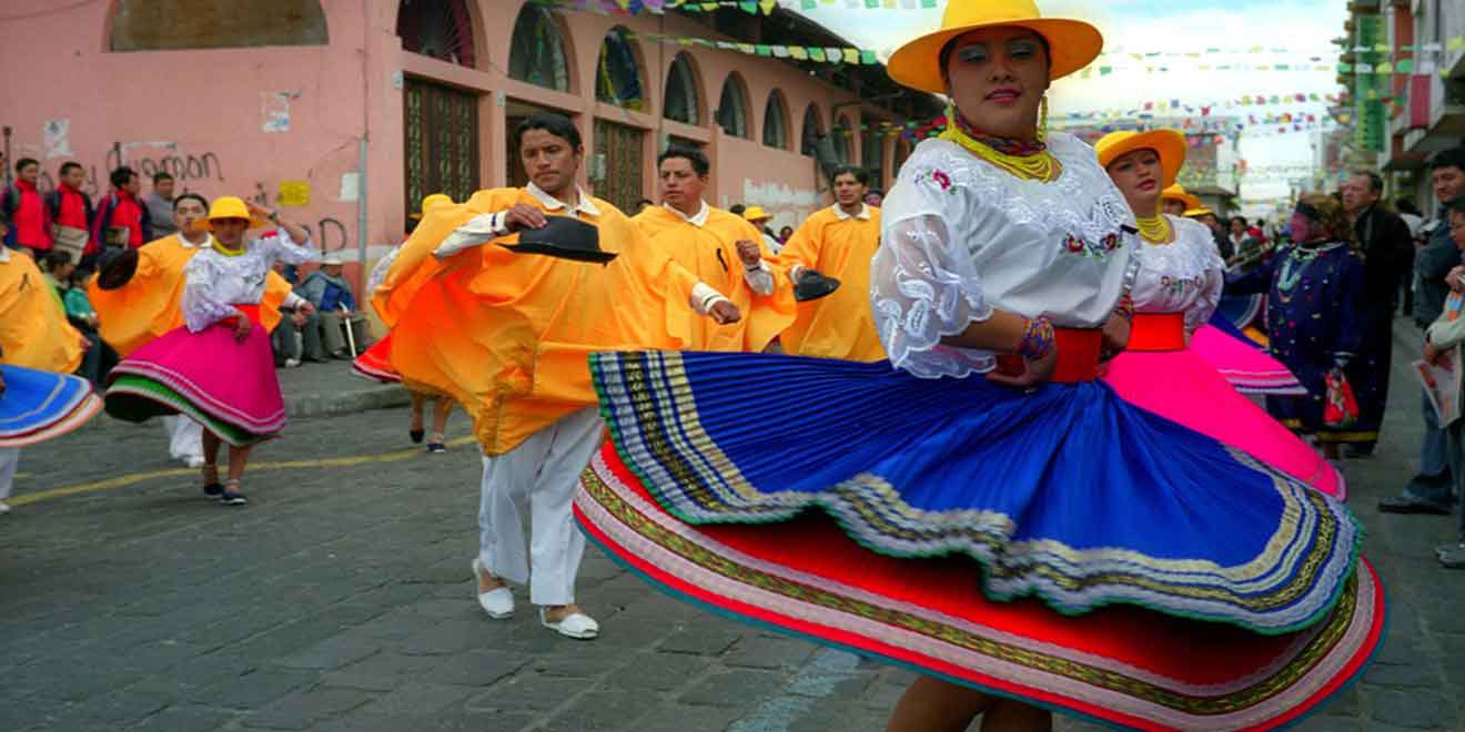
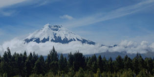
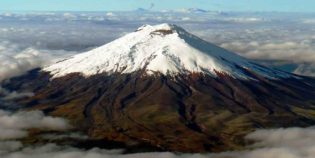
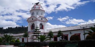
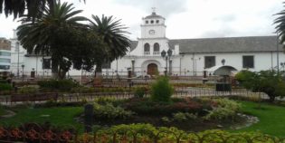
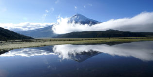
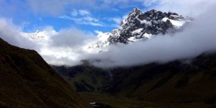
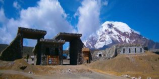
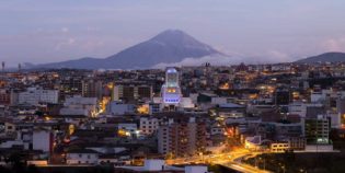
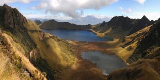
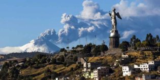
Latacunga is a nice city, the capital of the Cotopaxi province. Situated on a plateau — piece of land much higher than the surrounding flat areas. Located about 55 mi. (89 km.) south of Quito, near the Cotopaxi volcano. This city has an International Airport, also name "Cotopaxi". Latacunga's most important festivities are the Provincialization of Cotopaxi on April 1. The Cantonization of Latacunga on June 25. Independence of Latacunga on November 11. The "Mama Negra" festival also in November. Latacunga also celebrated some Ecuadorian holidays such as Carnival in February; Inti Raymi in June; and Christmas and Old Year in December. About the altitude, Latacunga has an elevation of ‎9,200 feet (2,800 meters) above sea level.

Traditional foods are for example roast guinea pig, pork, or chicken. As well as chugchucaras and allullas. 'Chugchucaras' is a dish made with fried pork, potatoes, plantain, and popcorn. While 'allullas' is a type of crusty bread made with flour, lard, and eggs.

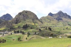
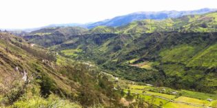
Climate is warm and temperate year-round. Usually, days are warm and nights are cool. The average temperature varies from 46°F to 67°F (8°C to 20°C) and is rarely below 42°F (6°C) or above 72°F (22°C). There are only two seasons: rainy and dry. The dry season goes from June to December. While the rainy season goes from January to May. In general, January is the warmest month, April is the rainiest and July is the coolest one.

Clic aquí para ver mapa turístico de atraciones en (Latacunga) Cotopaxi, Ecuador

Facts & Information

Language: Spanish
Currency: US Dollar

Location: South America
Country: Ecuador
Region: Andes
Province: Cotopaxi

Dial code: +593 3
Elevation: 9,200 ft (2,800 m)
Temperature: 46°-67°F (8°-20°C)
Weather / Climate

Photos / Images / 360 Street view

Map location / Where is it located?

Get Directions

  show options

Nearby destinations to visit / Day Trips
Cities & towns

Cotopaxi National Park is located in the Cotopaxi Province, around 50 km south of Quito. The Cotopaxi volcano - 19,347 feet (5,897 m) - is the main attraction of this ...
Cotopaxi volcano is the best-known active volcano of Ecuador. Also, one of the most famous in South America. Located in the Cotopaxi province, about 31 mi. (50 km.) South of ...
Pujilí is an indigenous town located in the Ecuadorian province of Cotopaxi, about 20 minutes from Latacunga. This small town is not a tourist destination but is famous for its ...
Ilinizas Ecological Reserve, also known as Ilinizas National Park, is a protected area located between Cotopaxi and Pichincha provinces. 55km south of Quito and extends through the Quilotoa Loop area. The ...
Salcedo is a small town located in the heart of Cotopaxi, Ecuador. It is famous for its delicious and creamy fruit ice-cream known as "helados de Salcedo". Ice-cream is a ...
Quilotoa Lake set in its deep volcanic crater is an extraordinary landscape, visitors can hike around the crater's rim, visit on mules or kayak across the turquoise waters. Quilotoa lake is ...
Zumbahua is an indigenous town located in Cotopaxi, approximately 59 mi (95 km) from Quito, Ecuador. It is known due to its proximity to the Quilotoa Lagoon, only 9 mi ...

Sightseeing / Popular things to do
Tourist attractions / Activities

Quilotoa Loop is a circuit of 124 mi (200 km) that crosses the carpet of patchwork farms that cover the mountainous landscape of peaks, canyons, and valleys of the area. Quilotoa ...
Quilotoa is an inactive volcano. It features an awe-inspiring volcanic crater lake. Surrounded by massive sheer cliffs and filled with deep blue and turquoise water. Quilotoa sits in the center ...
Limpiopungo Lagoon is a beautiful lake formed by water from the glaciers. It is located very close to the Cotopaxi volcano. Limpiopungo lagoon is like a mirror that reflects the ...
The Illinizas are a pair of volcanic mountains, their peaks are covered with glaciers. Located 55 km (34 mi) south of Quito, Ecuador. The Illinizas used to be a complete ...
error: Alert: Content is protected !!