Isla de la Plata - Machalilla National Park
Puerto Lopez - Machalilla National Park
Los Frailes - Machalilla National Park
previous arrow
next arrow
Slider

Machalilla National Park

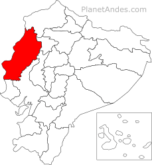
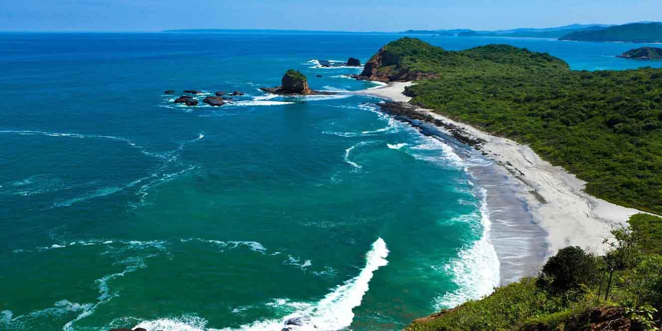
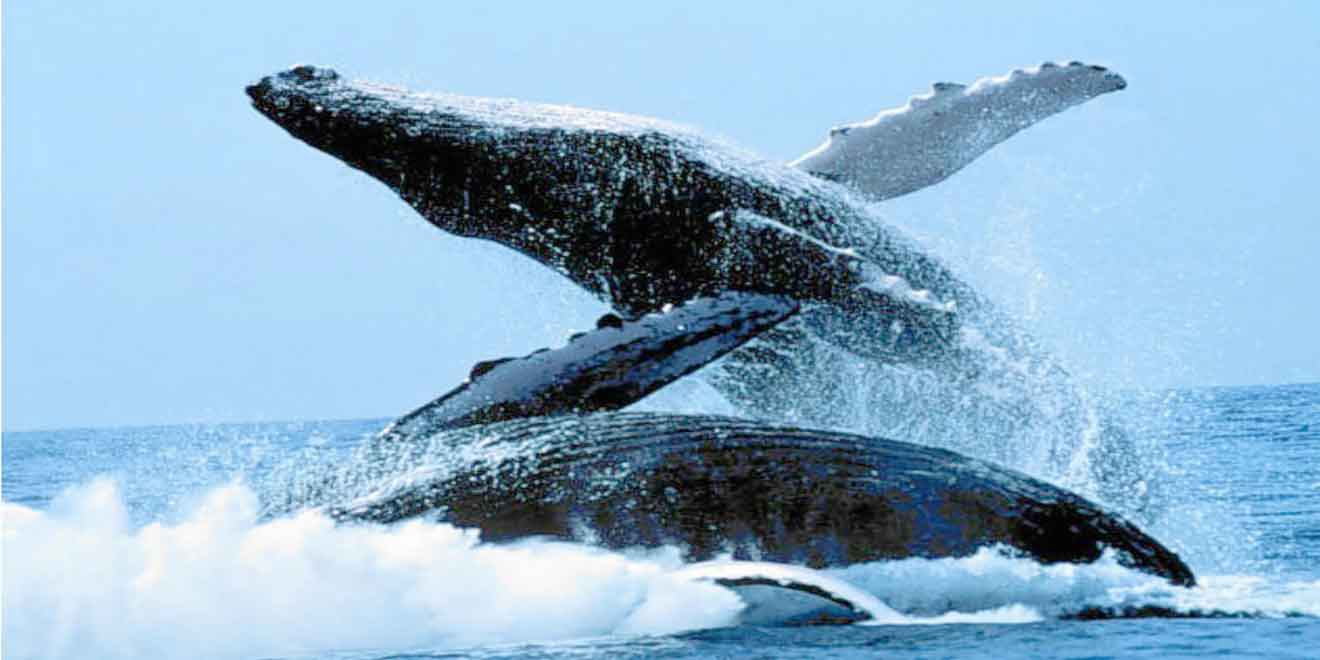
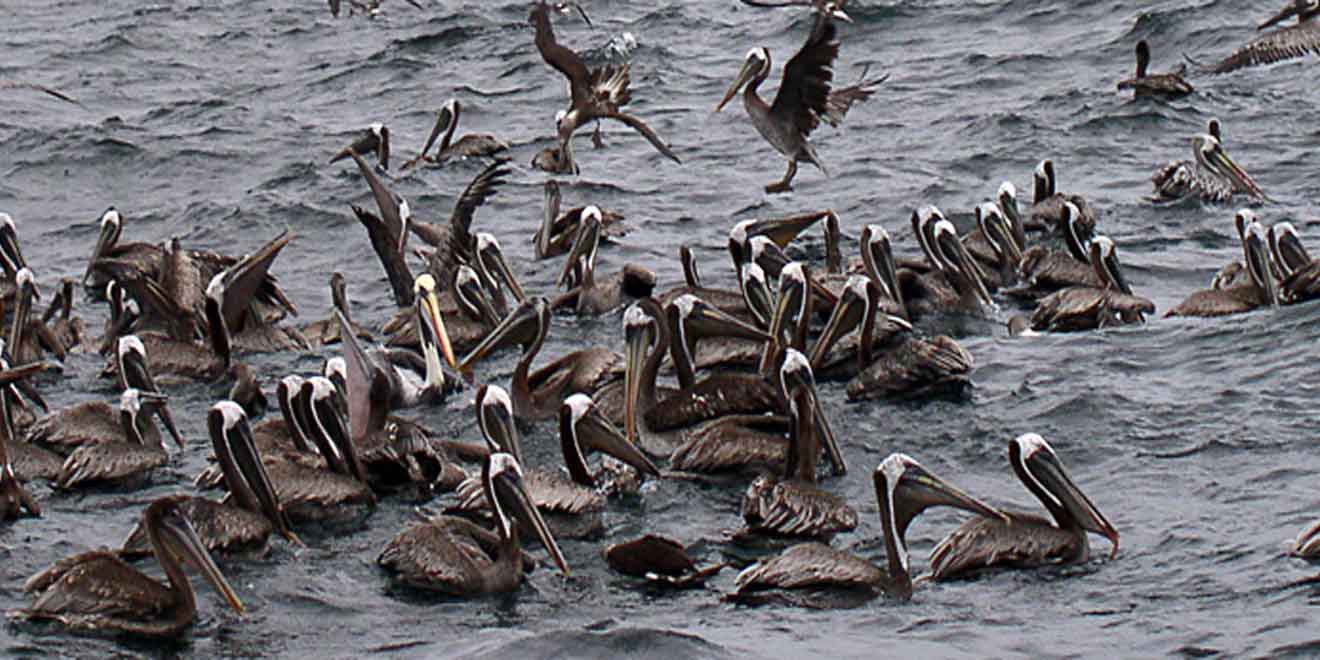
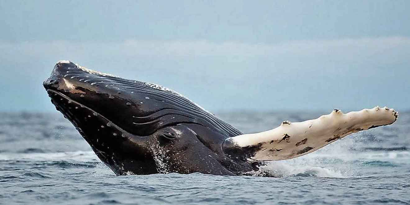
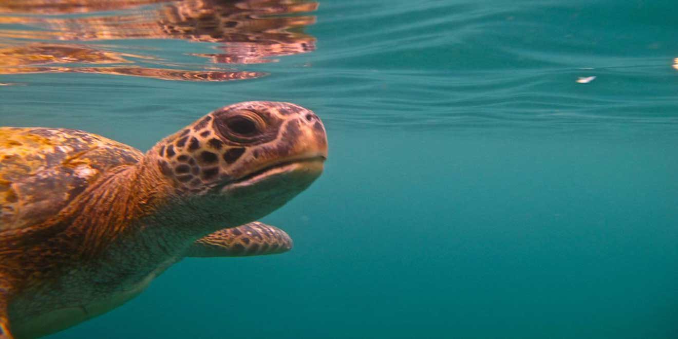
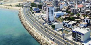
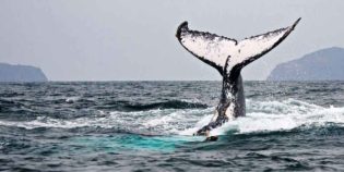
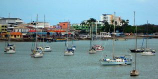
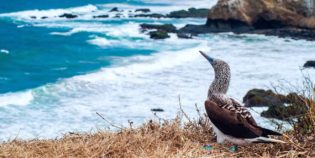
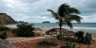
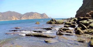
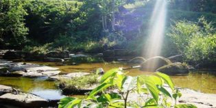
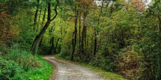
Machalilla National Park is one of the largest protected areas along the Ecuadorian coast. It is a 60,000-hectare coastal park located in the Manabí province. The park has many islands and beautiful beaches to enjoy. Machalilla National Park top destinations are Isla de la Plata (Silver Island), Isla Salango and Los Frailes beach. In addition, there are many species that live in Isla de la Plata such as sea turtles, fishes, dolphins, stingrays, and sea lions. Certainly, one of the main attractions takes place from June to September, when humpback whales that arrive on the coast of the park to mate, especially near Puerto López.

To get to the park from Quito, take the road Quito to Santo Domingo 94 mi. (151 km) towards Chone 87 mi. (140 km.) Then go southwest towards Manta (91 km). From Manta, take the Troncal del Pacífico road south to Jipijapa – Puerto Cayo – Puerto López 89 km (55 mi) road. If traveling from Guayaquil, take the road to Daule towards Nobol 25 mi (41 km.) Take the Nobol to Jipijapa road. From there, go west towards Puerto Cayo 17 mi (28 km) Then, take the Troncal del Pacífico (Pacific ocean main road) to Puerto López 20 mi (33 km).

Facts & Information

Language: Spanish
Currency: US Dollar

Location‎: ‎Ecuador
Region: Coast
Province: Manabí
Nearest town: Puerto López

Temperature: 70°-77°F (21°-25°C)
Weather / Climate

Photos / Images / 360 Street view

Map location / Where is it located?

Get Directions

  show options

Nearby destinations to go

Puerto López is a small fishing village, located in the center of the Machalilla National Park, in the province of Manabí, Ecuador. Puerto López is located in a wide bay ...
Isla de la Plata ("Silver Island") is an island full of natural wildlife, located 25 mi (40 km) offshore. Isla de la Plata is part of Machalilla National Park and part ...
Bahía de Caráquez is a charming beach city located on a peninsula in Manabí, Ecuador. Known simply as "Bahía". Bahía de Caráquez has long with sandy beaches that run miles ...
Portoviejo is the capital of Manabí, Ecuador. Also known as the "City of the Royal Tamarind Trees" — Tamarind is the fruit of beautiful trees found all around the city ...
Manta is a coastal city located in the province of Manabí. Known as the "Tuna Capital of the World." Manta has the largest seaport in Ecuador. It is a stopping ...
The beach of Los Frailes is part of the protected area of ​​the Machalilla National Park. It is located 6 mi (10 km) north of Puerto López, in the province ...
Canoa is a beach town located in Manabí, north of Bahia Caraquez. Canoa has a long coastline surrounded by vegetation and big waves, which make it the perfect destination for ...
Puerto Cayo is a fishing village located south of Manabí, Ecuador. Its beach is about 3 mi (5 km). Puerto Cayo is the closest port to the Machalilla National Park. ...

Other attractions to visit
Points of Interest & landmarks

El Salto del Armadillo is a waterfall located in the canton of El Carmen, in the coastal province of Manabí, Ecuador. Approximately 656 ft. (200 m.) from the road that ...
error: Alert: Content is protected !!