Ciudad Blanca park, Ibarra
Ice cream (helados de paila), Ibarra
Bulevar Centrica park, Ibarra
previous arrow
next arrow
Slider

Ibarra

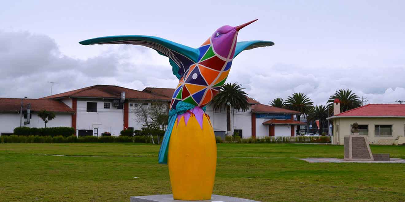
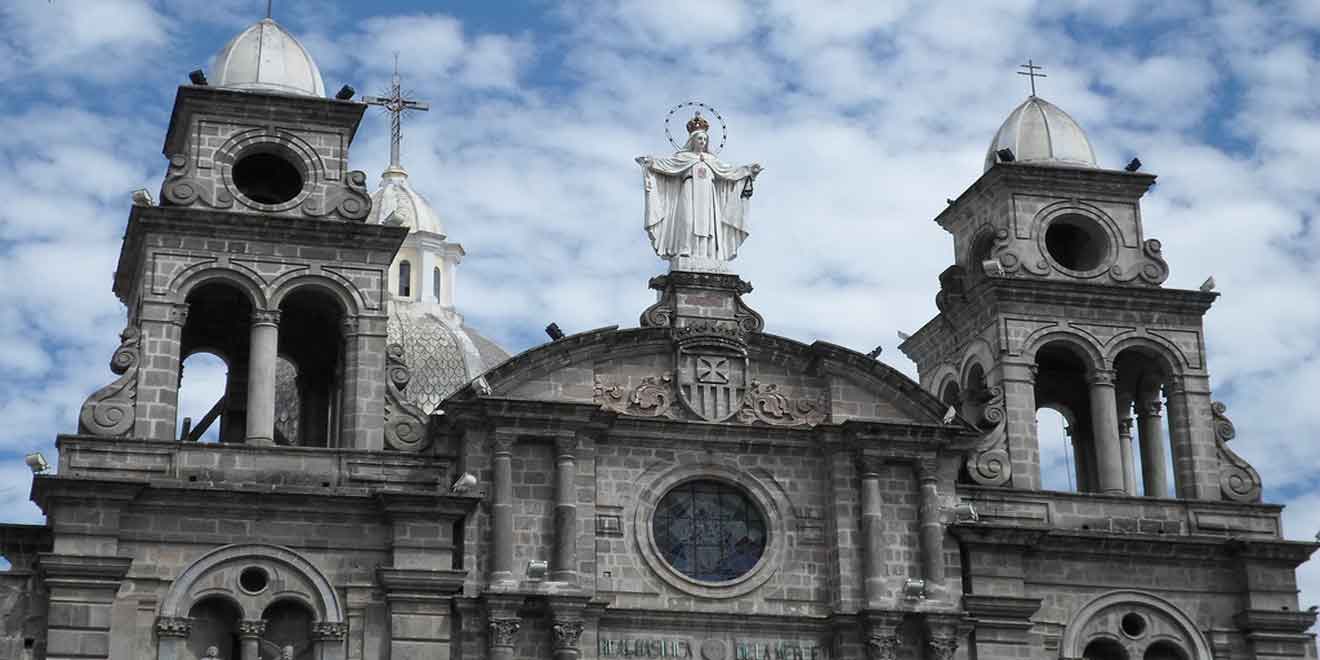
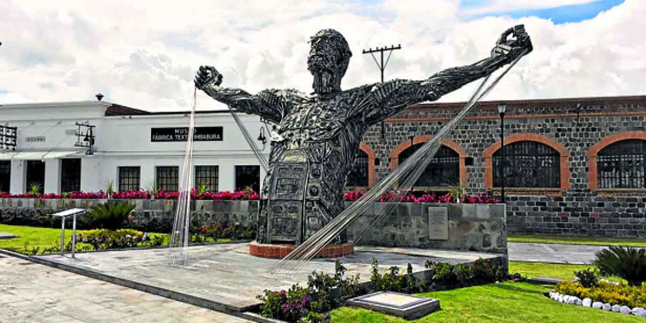
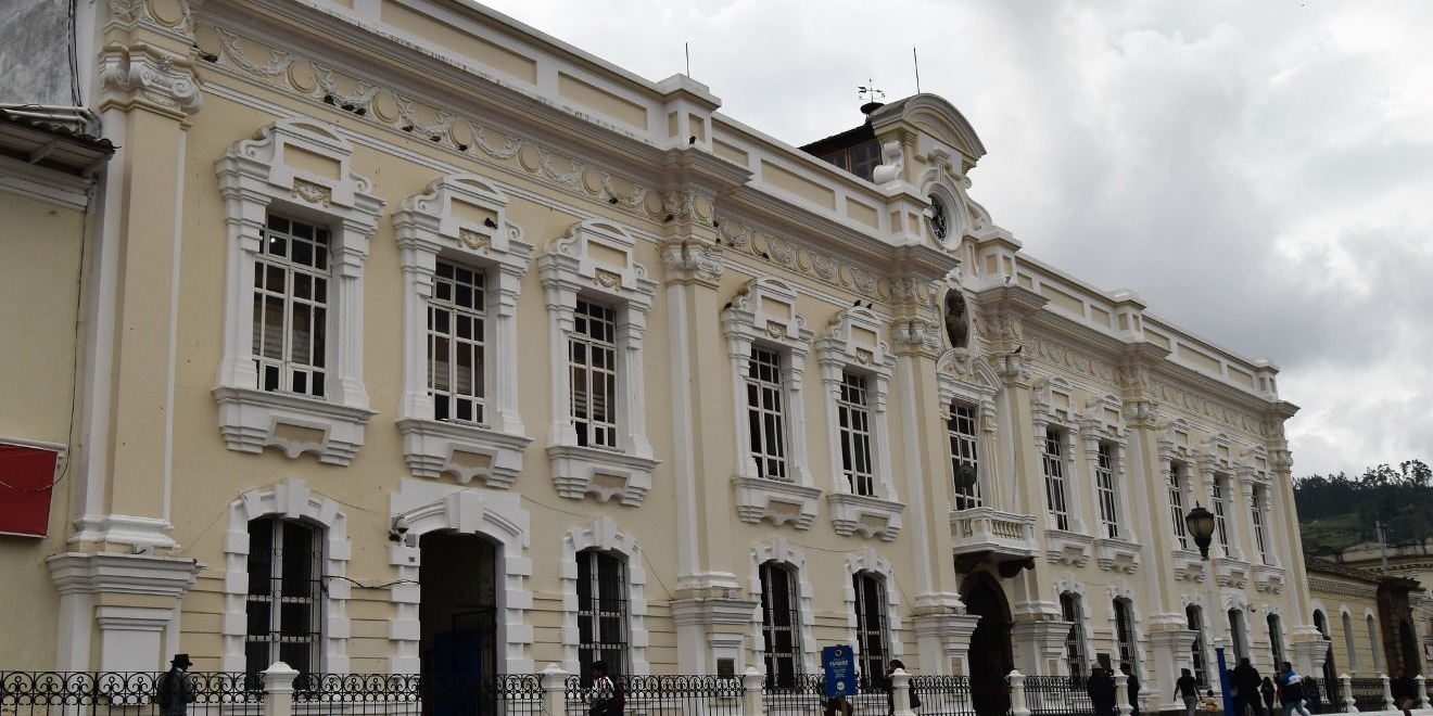
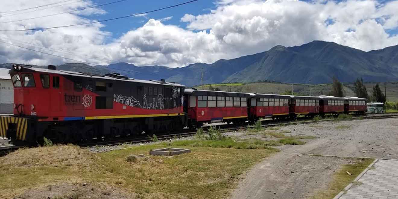
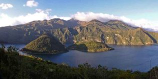
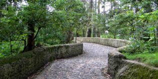
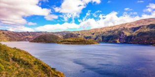
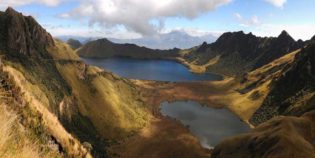
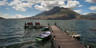
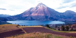
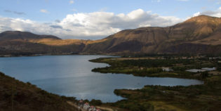
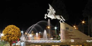
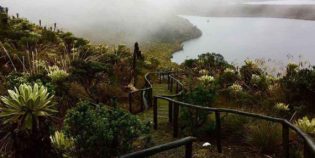
Ibarra is a picturesque and city with cobbled streets, the capital of Imbabura. Located in the middle of the Andean highlands of Ecuador. Also, known as "The White City" because most houses have a colonial whitewashed style. One of Ibarra's main attractions is "Tren de la Libertad" — a train ride from Ibarra to Salinas, passing for Chota Valley. — Other attractions are Yahuarcocha and San Pablo lakes. About Ibarra's main festivals, some of them are "Fiesta de Los Lagos" in September, and "El Pregón Virgen del Carmen" in July. About the altitude, Ibarra has an elevation of ‎7,300 feet (2,225 meters) above sea level.

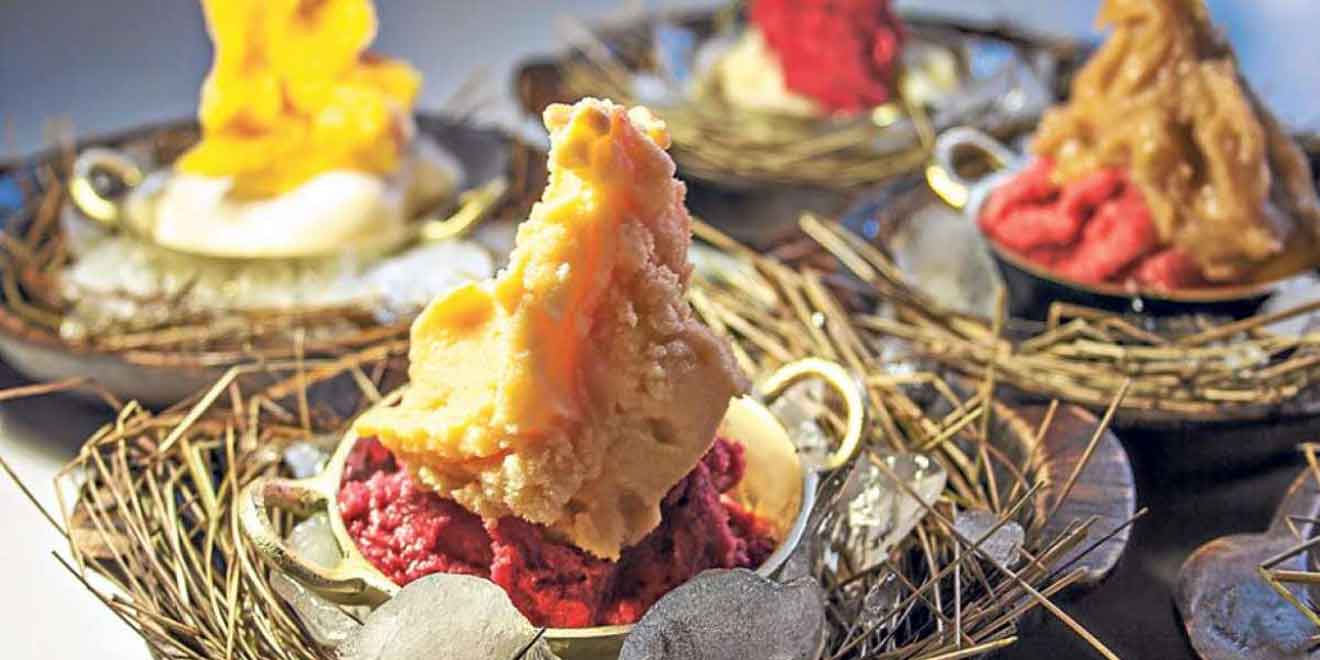
A tradition in Ibarra is eating their unique handmade ice creams served in cones, cups or mini bowls. "Helado de Paila" in Spanish, the ice cream is made inside a big bronze bowl with fruit, sugar, and ice. As a result, you will enjoy a smooth and delicious sorbet.

The warm weather is unbeatable. The average temperature stays around 56°F to 76°F (13°C to 25°C). There are only two seasons: rainy and dry. Dry season goes from June to December, while the rainy season goes from January to May. The best time to visit Ibarra is in May or from August to November. Ibarra's local holidays are the Foundation of Ibarra on September 28 and the Provincialization of Imbabura on June 25.

Facts & Information

Language: Spanish
Currency: US Dollar

Location: South America
Country: Ecuador
Region: Andes
Province: Imbabura

Dial code: +593 6
Elevation: 7,300 ft (2,225 m)
Temp: 56°-76°F (13°-25°C)
Weather / Climate

Photos / Images / 360 Street view

Map location / Where is it located?

Get Directions

  show options

Nearby destinations to visit / Day Trips
Cities & towns

Cotacachi is a small artisan town. Located in the Imbabura province, Ecuador. Cotacachi has amazing hot springs, lush forests, nature reserves, and snowy summits. Cotacachi's main production is leather goods. ...
Otavalo is an indigenous city, surrounded by volcanoes. Located 68 mi. (110 km.) from the north of Quito, Ecuador — about a two-hour bus drive. — Otavalo is known as the ...
Cuicocha is a caldera nestled within the crater of the Cotacachi volcano. It has an elevation of 10,649 ft. (3,246 m.) Located in the Imbabura province, in Ecuador. "Laguna Cuicocha" ...

Sightseeing / Popular things to do
Tourist attractions / Activities

Imbabura is an inactive volcano with a peak elevation of 14,952 ft. (4,557 m.) height above the sea level. It has two main summits. One of the 100 m. higher ...
San Pablo a lake formed by the water discharged by the waterfall Peguche. Located right at the foot of Imbabura volcano. 2.5 mi. (4 km.) west of  Otavalo, Ecuador. During the Yamor ...
Protected Forest of Peguche is one of the most beautiful rainforests in northern Ecuador. This forest has a big area for camping and picnics. As well as a well-maintained trail ...
Peguche waterfall is one of the main attractions in Otavalo and its surroundings. Located 1.86 mi. (3 km.) North of Otavalo and 14 mi. (23 km.) South of Ibarra. "Cascadas ...
Cotacachi-Cayapas Ecological Reserve contains 752,235 acres (304418 hectares) of land. It extends from Imbabura - in the Ecuadorian Andes mountains to the western edge of the rainforest in the Esmeraldas. The ...
Yahuarcocha is a lake located 1.86 mi. (3 km.) Northern of Ibarra, Ecuador. Surrounded by natural viewpoints and an environment of indigenous crops and land. "Laguna Yahuarcocha" in Spanish. It ...
Mojanda lakes are three turquoise lagoons nestled in the Andes Highlands. They are amongst once-active volcanoes. Located in the Imbabura province, near Otavalo. "Lagunas de Mojanda" in Spanish. It has ...
error: Alert: Content is protected !!